ZIP codes 26139 Elevation 196 m | Time zone Eastern (EST) (UTC-5) GNIS feature ID 1549617 Local time Tuesday 2:26 AM | |
 | ||
Weather 12°C, Wind S at 13 km/h, 73% Humidity | ||
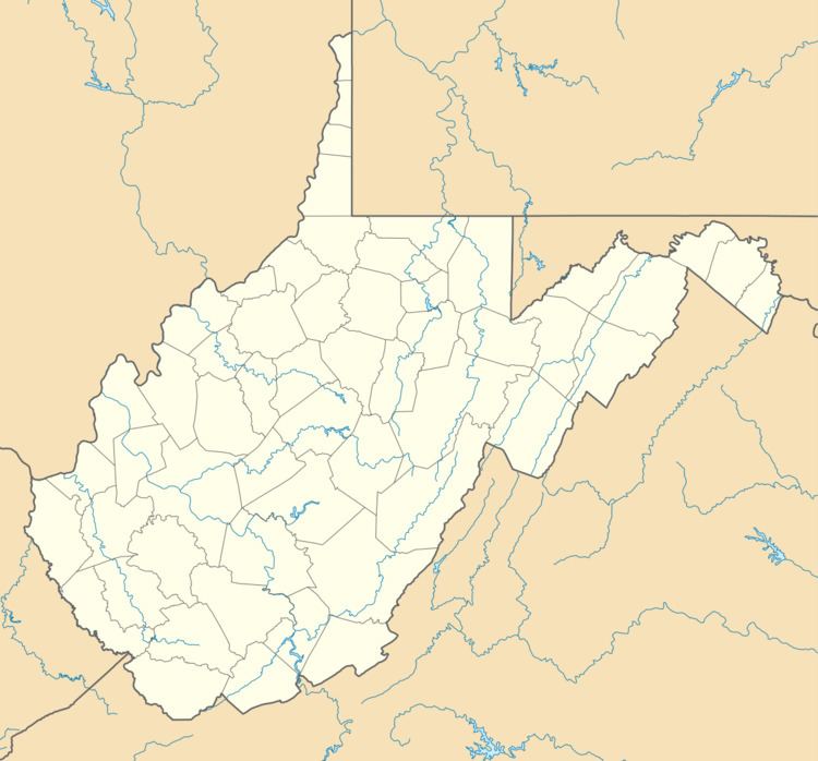
Burning Springs is an unincorporated community in Wirt County, West Virginia, United States. It takes its name from the natural gas which bubbled up through the spring and would burn when lit.
Map of Burning Springs, Southwest, WV 26141, USA
In the early 19th century, wells were drilled at the springs to produce brine which was evaporated to produce salt. Some petroleum was produced along with the salt brine. By 1836, the salt wells were producing 50 to 100 barrels per year of oil that was sold as illuminating oil. The wells at Burning Springs produced and sold petroleum many years before the Drake oil well at Titusville, Pennsylvania. The first well at Burning Springs drilled to obtain oil rather than salt was begun in 1859, after the Drake well. The Burning Springs Complex was listed on the National Register of Historic Places in 1971.
The Ruble Church was listed on the National Register of Historic Places in 1982.
