
Area 5.1 km² | Country United Kingdom | |
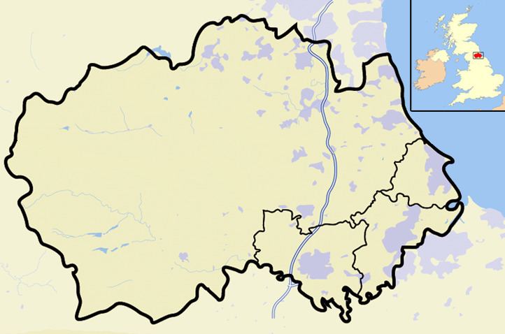 | ||
Burnhope Burn is a Site of Special Scientific Interest in the Wear Valley district of north County Durham, England. It consists of an area of woodland, carr, fen and mire in the valley of Burnhope Burn, just below the Derwent Reservoir dam, about 1.4 km north-east of the village of Edmundbyers.
Map of Burnhope Burn, United Kingdom
It contains a range of habitats that are characteristic of poorly drained soils and that are rare or local in County Durham. In a small basin-mire in the northern part of the site there are abundant communities of a number of species that have a localised distribution elsewhere in the county.
References
Burnhope Burn Wikipedia(Text) CC BY-SA