
Country United States County Coffey Area code 620 Elevation 315 m Population 2,630 (2013) | Time zone Central (CST) (UTC-6) FIPS code 20-09400 Zip code 66839 Local time Monday 11:05 PM | |
 | ||
Weather 11°C, Wind NW at 27 km/h, 25% Humidity | ||
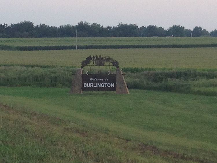
Burlington is a city in and the county seat of Coffey County, Kansas, United States. As of the 2010 census, the city population was 2,674.
Contents
- Map of Burlington KS 66839 USA
- History
- Geography
- Climate
- 2010 census
- 2000 census
- Wolf Creek
- Education
- College
- References
Map of Burlington, KS 66839, USA
History
Burlington was founded in 1857. It was named after Burlington, Vermont, the native home of one of its founders.
The first post office in Burlington was established in 1858, when it was removed from the now extinct town of Hampden.
Geography
Burlington is located at 38°11′40″N 95°44′44″W (38.194420, -95.745532). According to the United States Census Bureau, the city has a total area of 2.21 square miles (5.72 km2), of which 2.20 square miles (5.70 km2) is land and 0.01 square miles (0.03 km2) is water.
Climate
The climate in this area is characterized by hot, humid summers and generally mild to cool winters. According to the Köppen Climate Classification system, Burlington has a humid subtropical climate, abbreviated "Cfa" on climate maps.
2010 census
As of the census of 2010, there were 2,674 people, 1,138 households, and 699 families residing in the city. The population density was 1,215.5 inhabitants per square mile (469.3/km2). There were 1,296 housing units at an average density of 589.1 per square mile (227.5/km2). The racial makeup of the city was 94.7% White, 1.0% African American, 1.0% Native American, 0.9% Asian, 0.7% from other races, and 1.7% from two or more races. Hispanic or Latino of any race were 2.5% of the population.
There were 1,138 households of which 30.8% had children under the age of 18 living with them, 45.7% were married couples living together, 12.2% had a female householder with no husband present, 3.5% had a male householder with no wife present, and 38.6% were non-families. 33.7% of all households were made up of individuals and 14.1% had someone living alone who was 65 years of age or older. The average household size was 2.27 and the average family size was 2.88.
The median age in the city was 41.1 years. 24.6% of residents were under the age of 18; 6.9% were between the ages of 18 and 24; 22.8% were from 25 to 44; 27.2% were from 45 to 64; and 18.3% were 65 years of age or older. The gender makeup of the city was 47.4% male and 52.6% female.
2000 census
As of the census of 2000, there were 2,790 people, 1,122 households, and 713 families residing in the city. The population density was 1,354.7 people per square mile (522.9/km²). There were 1,277 housing units at an average density of 620.1 per square mile (239.3/km²). The racial makeup of the city was 95.95% White, 0.32% Black or African American, 0.57% Native American, 0.68% Asian, 0.61% from other races, and 1.86% from two or more races. 1.79% of the population were Hispanic or Latino of any race.
There were 1,122 households out of which 33.1% had children under the age of 18 living with them, 50.7% were married couples living together, 10.1% had a female householder with no husband present, and 36.4% were non-families. 33.1% of all households were made up of individuals and 16.1% had someone living alone who was 65 years of age or older. The average household size was 2.38 and the average family size was 3.02.
In the city, the population was spread out with 26.0% under the age of 18, 8.4% from 18 to 24, 27.5% from 25 to 44, 20.3% from 45 to 64, and 17.8% who were 65 years of age or older. The median age was 38 years. For every 100 females there were 87.6 males. For every 100 females age 18 and over, there were 84.1 males.
The median income for a household in the city was $36,174, and the median income for a family was $43,021. Males had a median income of $30,946 versus $20,357 for females. The per capita income for the city was $18,443. About 5.2% of families and 7.6% of the population were below the poverty line, including 7.2% of those under age 18 and 9.8% of those age 65 or over.
Wolf Creek
Located just northeast of Burlington is the Wolf Creek Generating Station, the only nuclear power plant in Kansas. This plant is situated on Coffey County Lake, which was constructed as the cooling lake for the plant. The plant has been generating electricity since 1985, and is a local landmark. Wolf Creek Nuclear Operating Corporation ("WCNOC") operates the plant, and is a subsidiary of the plant's owners, Kansas Gas & Electric (part of Westar), Kansas City Power & Light (part of Great Plains Energy), and KEPCO (an association of Kansas electric power cooperatives).
Education
Public schools:
College
Allen County Community College offers classes at Burlington High School, both for adults and for high school students who may earn concurrent credits.