
Country United States Elevation 60 m Local time Monday 10:31 PM | Time zone Central (CST) (UTC-6) Zip code 77418 Area code 979 | |
 | ||
Weather 22°C, Wind S at 19 km/h, 93% Humidity | ||
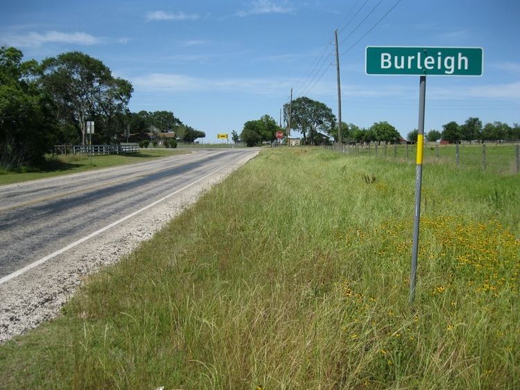
Burleigh is an Unincorporated community in northeast Austin County, in the U.S. state of Texas. The tiny rural community is located amid rolling hills at the junction of Farm to Market Road 529 (FM 529) and Farm to Market Road 331 (FM 331) southeast of Bellville.
Contents
Map of Burleigh, TX 77418, USA
Geography
Burleigh is situated a distance of 6.7 miles (10.8 km) southeast of Bellville where eastbound FM 529 intersects with northbound FM 331. From Burleigh, FM 529 goes 33.5 miles (53.9 km) east to link with State Highway 6 in the Houston area. FM 331 connects with State Highway 36, 5.9 miles (9.5 km) to the south. For 0.4 miles (0.6 km) at Burleigh, FM 331 shares the right-of-way with FM 529, then it heads north 5.9 miles (9.5 km) before state maintenance ends at Oil Field Road. The Brazos River is 1.6 miles (2.6 km) east on FM 529, which is also called Crump Ferry Road.
History
The eastern part of Austin County was first settled in the 1820s. A post office began operating out of a general store in Burleigh in 1893 but it closed in 1913. Five years later the Burleigh school counted 62 students. As late as 1968 the population was reckoned at about 150 souls, but in 1972 there were only 69 persons. There were three churches and two schools in Burleigh in the early 1980s.