
Country United States Time zone CST (UTC-6) Area 96.63 km² Population 2,439 (2010) | Settlement November 6, 1888 Elevation 159 m Local time Monday 8:12 PM | |
 | ||
ZIP codes 62246, 62249, 62273, 62275 Weather 18°C, Wind S at 34 km/h, 87% Humidity | ||
Burgess Township is one of nine townships in Bond County, Illinois, USA. As of the 2010 census, its population was 2,439 and it contained 1,015 housing units.
Contents
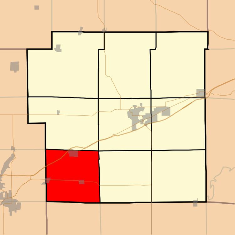
- Map of Burgess Township IL USA
- Geography
- Cities
- Cemeteries
- Major highways
- Lakes
- School districts
- Political districts
- References
Map of Burgess Township, IL, USA
Geography
According to the 2010 census, the township has a total area of 37.31 square miles (96.6 km2), of which 37.2 square miles (96 km2) (or 99.71%) is land and 0.11 square miles (0.28 km2) (or 0.29%) is water.
Cities
Cemeteries
The township contains three cemeteries: Burgess, Hug and Saint Nicholas.
Major highways
Lakes
School districts
Political districts
References
Burgess Township, Bond County, Illinois Wikipedia(Text) CC BY-SA