
OS grid reference SP8723 Country England Post town LEIGHTON BUZZARD Shire county Buckinghamshire Dialling code 01296 UK parliament constituency Aylesbury | Region South East Sovereign state United Kingdom Postcode district LU7 District Aylesbury Vale Civil parish Wing | |
 | ||
Burcott is a hamlet in the parish of Wing(where at the 2011 Census the population was included ), Buckinghamshire, England. Burcott is a common place name in the English language. The place name is Old English and refers to a fortified cottage.
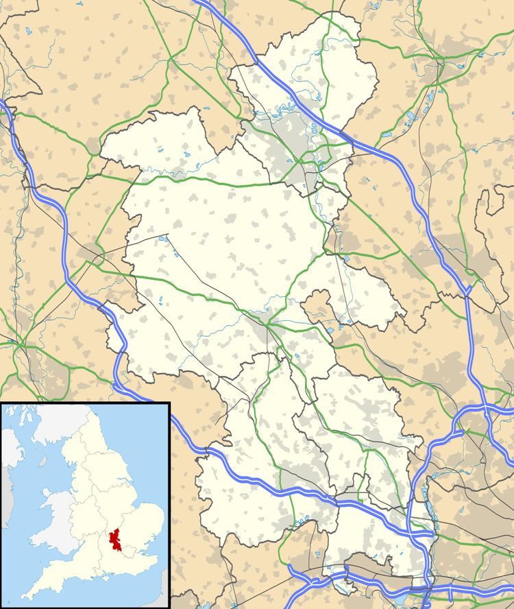
Map of Burcott, Leighton Buzzard, UK
Today the hamlet of Burcott has been almost swallowed up by the growth of Wing, though it is still marked on modern maps, and on the road sign as you enter Wing from the Soulbury road. It is distinguishable by those who know the village well, as being that part of Wing that is on the hill on the north side of the village, separated by an allotment.
Most of the houses in Burcott stand on the "High Street", which is a crescent shaped road that joins Soulbury Road at each end. Ivy Lane and Mount Pleasant Road both branch off the High Street.