Established 1897 Founded 1897 Postal code 6429 | Postcode(s) 6429 Elevation 408 m Local time Tuesday 8:23 AM | |
 | ||
Weather 26°C, Wind N at 19 km/h, 34% Humidity | ||
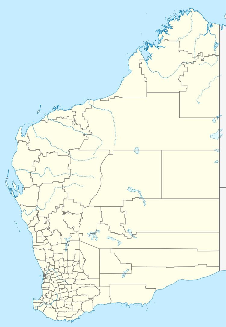
Burbanks is an abandoned town in Western Australia located between Coolgardie and Londonderry in the Goldfields-Esperance region of Western Australia.
Map of Burbanks, Londonderry WA 6429, Australia
In 1894 gold was discovered in the area and the townsite was gazetted in 1897. The following year the population of the town was 390 (350 males and 40 females).
The town was named after the prospector, John Burbanks in 1893, who along with his partner Sheldon, first discovered gold in the area. The find was named the Birthday Gift and company was swiftly formed which bought a sixty head battery.
The Burbanks Gold Mine continues to operate near the old town site.
References
Burbanks, Western Australia Wikipedia(Text) CC BY-SA
