
Time zone EAT0 (UTC+3) | Elevation 105 m | |
 | ||
Weather 26°C, Wind E at 8 km/h, 76% Humidity | ||
Location
The town lies on the west bank of the Tana River, approximately 50 km north of Hola, the headquarters of Tana River County, and about 100 km south of Garissa town. The coordinates of Bura are: 1°11'39.1S, 39°50'23.0"E (Latitude:-1.503606; Longitude:39.837802).
Overview
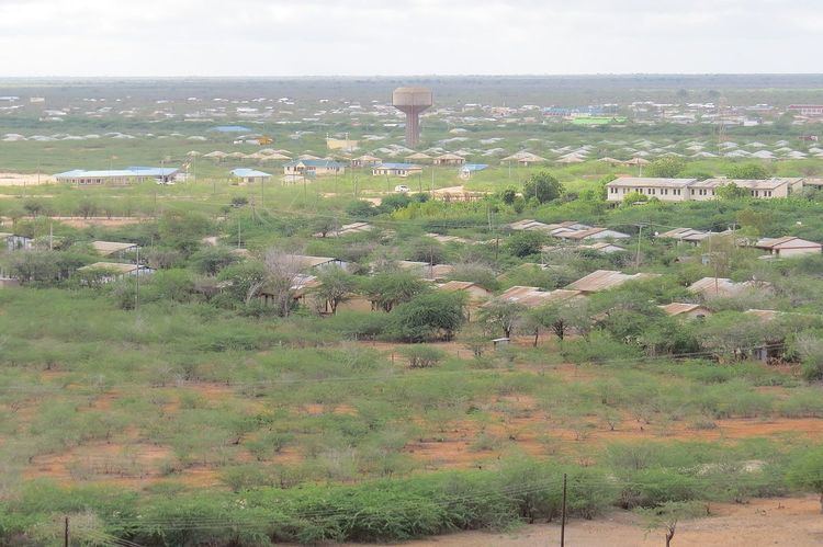
Bura is also known as Bura-Tana and Bura-West with postal code 70104. The town is the centre of Bura Irrigation and Settlement Project. The water treatments works in Bura town are a land mark that can be seen from 20 km. Bura West hosts Bura airport (IATA: n/a, ICAO: HKBR), which sits at an average altitude of 344 feet (105 m).
References
Bura, Tana River County Wikipedia(Text) CC BY-SA