
Local time Monday 6:09 PM | ||
 | ||
Weather 17°C, Wind N at 0 km/h, 53% Humidity | ||
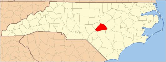
Bunnlevel is an unincorporated community along U.S. Highway 401 in the Stewarts Creek Township of Harnett County, North Carolina. It is a part of the Dunn Micropolitan Area, which is also a part of the greater Raleigh–Durham–Cary Combined Statistical Area (CSA) as defined by the United States Census Bureau.
Contents
Map of Bunnlevel, NC 28323, USA
History
Bunnlevel was originally named "Bunn's Level" after a local resident and was settled around 1904. The community was incorporated in 1921 as "Bunlevel" but has since been inactive as a municipality. Another incorporation movement here failed in 1961. Prominent families include: Parker, McDougald, McNeill, McLean, Walker, Spears, Gunn, Chance and Hicks.
Thorbiskope was listed on the National Register of Historic Places in 1986.
Demographics
Bunnlevel's Zip Code Tabulation Area (Zip Code 28323) has a population of about 2,225 as of the 2000 census. The population is 48.4% male and 51.6% female. About 53.2% of the population is white, 42.9% African-American, 2.2% Hispanic, 1.7% American Indian, 0.2% Asian, and 0.8% of other races. 1.3% of people are two or more races.
The median household income is $34,375 with 17.1% of the population living below the poverty line.