
Established 1914 Founded 1914 Local time Tuesday 6:46 AM | Postcode(s) 6623 Elevation 319 m Postal code 6623 | |
 | ||
Weather 23°C, Wind E at 8 km/h, 45% Humidity | ||
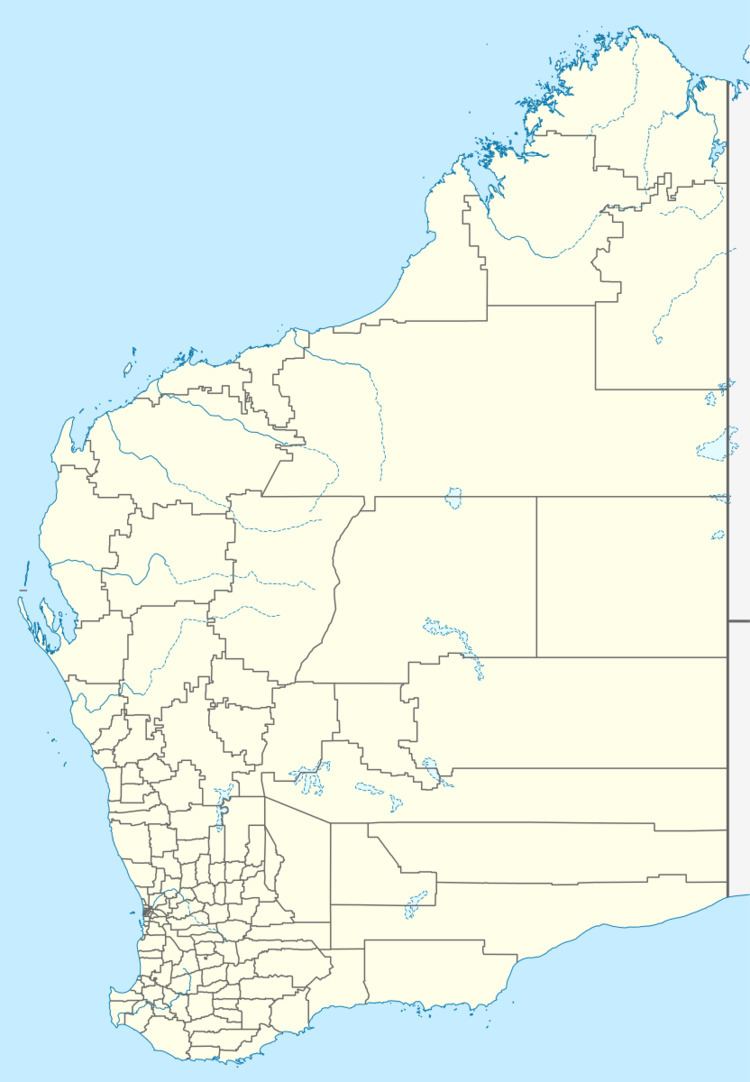
Bunjil is a small town in Western Australia located on the Mullewa Wubin Road 326 kilometres (203 mi) north of Perth in the Mid West Region
Map of Bunjil WA 6623, Australia
The townsite was gazetted in 1914, after being initially established as a railway siding in 1913 to allow transport of crops and stock. The name is Indigenous Australian in origin but its meaning is unknown.
In 1932 the Wheat Pool of Western Australia announced that the town would have two grain elevators, each fitted with an engine, installed at the railway siding.
The main industry in town is wheat farming with the town being a Cooperative Bulk Handling receival site.
References
Bunjil, Western Australia Wikipedia(Text) CC BY-SA