
Postcode(s) 3465 Local time Tuesday 9:22 AM | State electorate(s) Ripon Postal code 3465 | |
 | ||
Location 185 km (115 mi) NE of Melbourne
70 km (43 mi) N of Ballarat
19 km (12 mi) W of Maryborough
10 km (6 mi) E of Avoca LGA(s) Shire of Central Goldfields
Pyrenees Shire Weather 18°C, Wind E at 14 km/h, 63% Humidity Federal divisions Division of Bendigo, Division of Wannon | ||
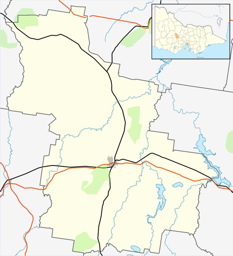
Bung Bong is a town in Victoria near the rural towns of Avoca and Maryborough. It is divided in half with one half in Pyrenees Shire and the other half in Shire of Central Goldfields. The Bet Bet Creek runs through the middle of Bung Bong and then into the Loddon River.
Map of Bung Bong VIC 3465, Australia
Bung Bong has a large range of native flora and fauna, with a large area of State Forest and Nature Conservation Reserves around it and making it an ideal area for bush walkers.
The disused Anglican Church on the Pyrenees Highway is a popular stopping place for caravans.
The old Glenmona Bridge over Bet Bet Creek was built in 1871 and is the third oldest of its type in Victoria. Its location is directly south of the new bridge over the Bet Bet on the Pyrenees Highway.
Bung Bong Post Office opened on 1 February 1864 and closed in 1961.