
Traversed by Track or trail Elevation 2,385 m | ||
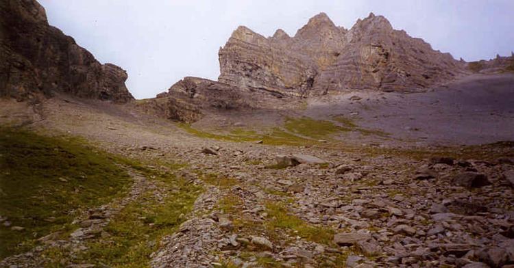 | ||
The Bunderchrinde Pass is a mountain pass of the Bernese Alps. The pass crosses the col between the peaks of Gross Lohner and Chlyne Lohner, at an elevation of 2,385 m (7,825 ft).
Map of Bunderchrinde, 3718 Adelboden, Switzerland
The pass is traversed by a hiking track, which connects Kandersteg, at an elevation of 1,174 m (3,852 ft) in the valley of the Kander river, with Adelboden, at an elevation of 1,350 m (4,430 ft) in the valley of the Engstlige river. The track forms part of the Alpine Pass Route, a long-distance hiking trail across Switzerland between Sargans and Montreux.
References
Bunderchrinde Pass Wikipedia(Text) CC BY-SA