Quadrant NW Sector Southwest Elevation 671 m | Ward 9 Area 151 ha Population 3,591 (2012) | |
 | ||
Bulyea Heights is a residential neighbourhood in the Riverbend area of south west Edmonton, Alberta, Canada. The neighbourhood overlooks Whitemud Creek Ravine. The neighbourhood is named for George H. V. Bulyea, first Lieutenant-Governor of the Province of Alberta.
Contents
- Map of Bulyea Heights Edmonton AB Canada
- Demographics
- Residential development
- Schools
- Surrounding neighbourhoods
- References
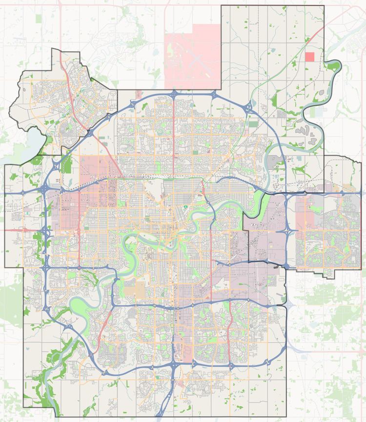
Map of Bulyea Heights, Edmonton, AB, Canada
The neighbourhood is bounded on the west by Terwillegar Drive, on the south by Rabbit Hill Road, on the north by Whitemud Drive, and on the east by the Whitemud Creek Ravine.
Demographics
In the City of Edmonton's 2012 municipal census, Bulyea Heights had a population of 7003359100000000000♠3,591 living in 7003120700000000000♠1,207 dwellings, a -2.6% change from its 2009 population of 7003368800000000000♠3,688. With a land area of 1.51 km2 (0.58 sq mi), it had a population density of 7003237810000000000♠2,378.1 people/km2 in 2012.
Residential development
Bulyea Heights is a newer neighbourhood with residential development beginning in the late 1980s. According to the 2001 federal census, just under half (45.8%) of all residences were constructed between 1986 and 1990. The other half (53.2%) were constructed during the 1990s.
The most common type of residence, according to the 2005 municipal census, is the single-family dwelling. These account for nine out of every ten (89%) residences in the neighbourhood. The other one residence in ten (11%) are duplexes. Substantially all (98%) of all residences are owner-occupied.
Schools
There is a single school in the neighbourhood, George H. Luck School, operated by the Edmonton Public School System.
Surrounding neighbourhoods
On the other side of the Whitemud Creek Ravine, to the east, are the neighbourhoods of Aspen Gardens, Lansdowne, and Westbrook Estates.
