
Established 1895 Founded 1895 | Postcode(s) 6431 Elevation 431 m Postal code 6431 | |
 | ||
Location 580 km (360 mi) East of Perth34 km (21 mi) East of Kalgoorlie Weather 24°C, Wind NE at 14 km/h, 36% Humidity Lga City of Kalgoorlie-Boulder | ||
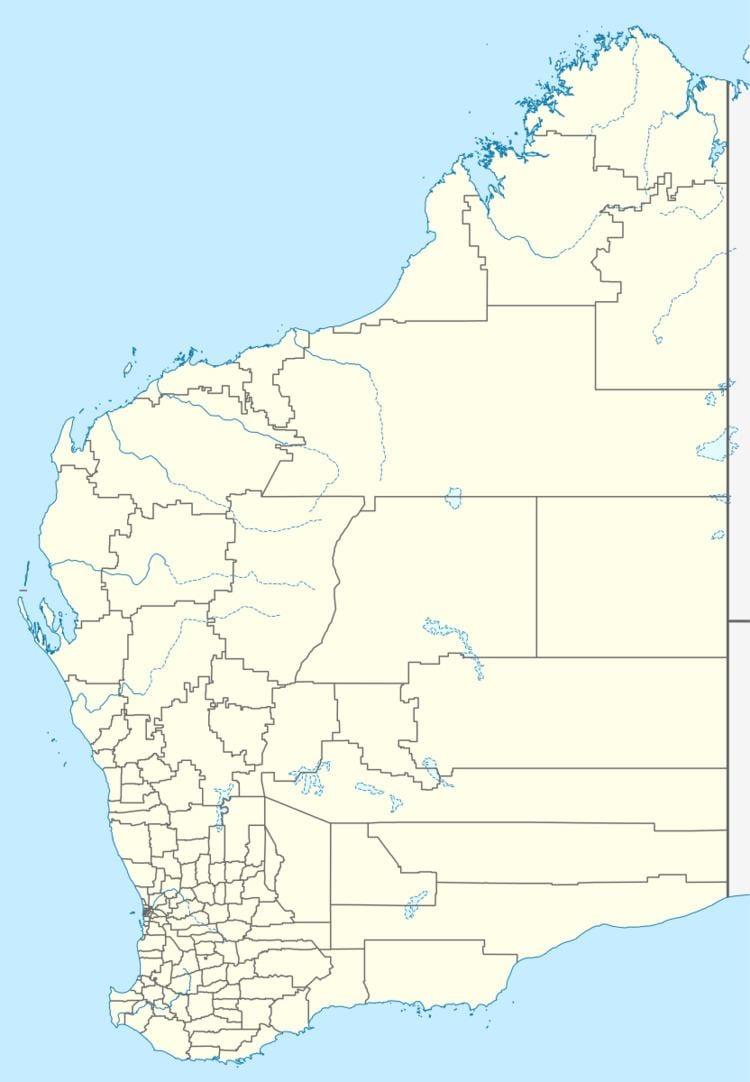
Bulong is an abandoned town in Western Australia located 580 kilometres (360 mi) east of Perth in the Goldfields-Esperance region of Western Australia.
In 1893 a group of prospectors, Hogan, Henry, Holmes, Kennedy and Turnbull, discovered gold on a lease they were granted called IOU.
A surveyor named G. Hamilton was given instructions to design the town layout in 1894, which was to be named IOU. Hamilton suggested the name be changed to the Indigenous Australian name of a nearby spring called Bulong.
The townsite was gazetted in 1895.
On the back of gold mining the population of the town grew to 620 by 1900 and boasted large number of businesses including several hotels, bakeries, accountants, butchers and stores. The town also had a hospital, school, police station, telegraph station and post office. The towns water supply was obtained from Lake Yindarlagooda, condensed on the lakes banks then pumped to the top of Mount Stuart to gravity feed to the town.
A Nickel mine and processing plant operates near the old town site and was sold to Lionore in 2005. Lionore planned to upgrade the plant to process 10,000 tonnes of ore per year but were also investigating using water based technology to process 40,000 tonnes per year.