
Postcode(s) 2650 Postal code 2650 | Local time Tuesday 5:59 AM | |
 | ||
Location 501 km (311 mi) from Sydney48 km (30 mi) from Wagga Wagga21 km (13 mi) from Lockhart19 km (12 mi) from Collingullie Weather 17°C, Wind E at 10 km/h, 64% Humidity | ||
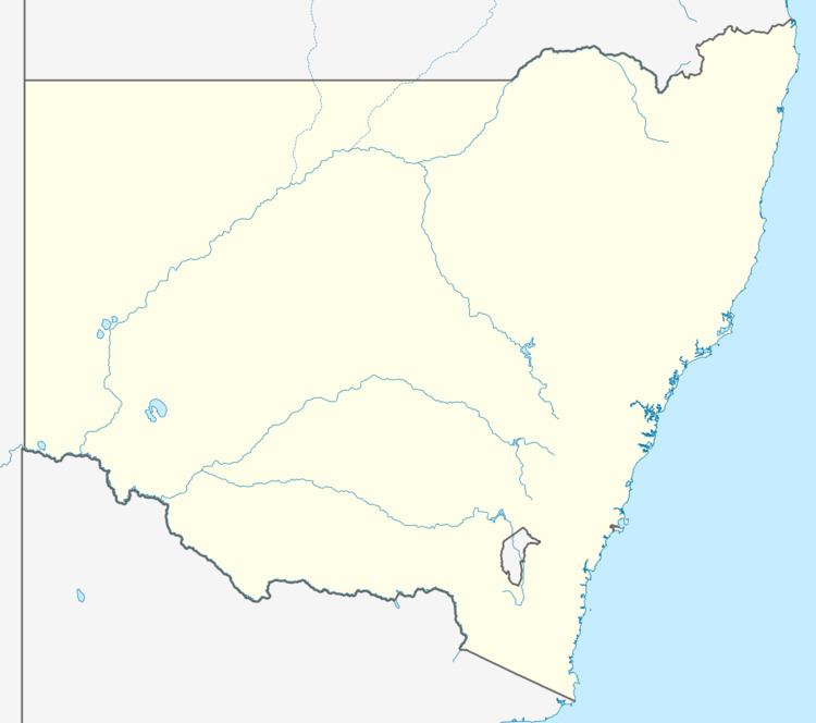
Bullenbung is a rural locality in the central east part of the Riverina. It is situated by road, about 19 kilometres north east from Lockhart and 21 kilometres south east from Collingullie.
Map of Bullenbong, NSW 2656, Australia
Bullenbung Post Office opened on 1 November 1888 and closed in 1903.
References
Bullenbung, New South Wales Wikipedia(Text) CC BY-SA