
Country United States County Reno Time zone CST (UTC-6) Elevation 450 m Zip code 67522 Local time Monday 2:22 AM | Founded 1888 FIPS code 20-09200 Area 155 ha Population 1,332 (2013) Area code 620 | |
 | ||
Weather 14°C, Wind S at 45 km/h, 86% Humidity | ||
Buhler is a city in Reno County, Kansas, United States. As of the 2010 census, the city population was 1,327.
Contents
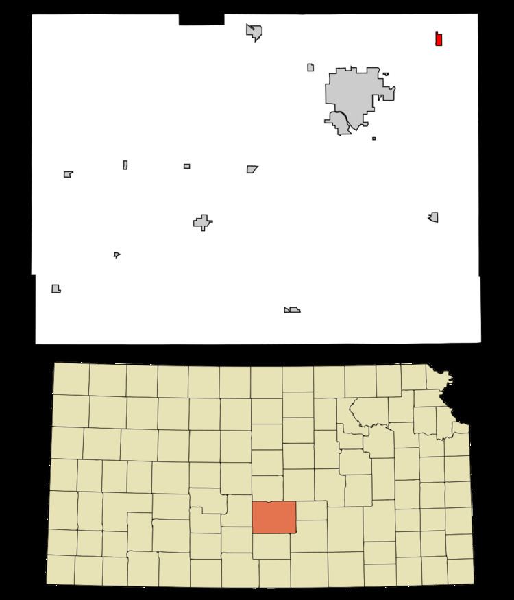
- Map of Buhler KS 67522 USA
- History
- Geography
- 2010 census
- 2000 census
- Government
- Primary and secondary education
- References
Map of Buhler, KS 67522, USA
History
The first post office in Buhler was established in 1888.
Buhler was primarily inhabited by Mennonite families that had emigrated from Russia during the 1880s.
In September 2012, the City of Buhler received a letter from the Freedom from Religion Foundation regarding a complaint about perceived constitutual violations about the city seal having a cross in it. In November 2012, the city stated that every legal opinion we received indicated the city has no supportable case in the event the it was sued to legally force us to remove the seal and sign. If the city lost, it would be obligated to pay all the legal fees of the prevailing party. The city decided to hold a contest in January 2013 to redesign the city seal without specific reference to religion.
Geography
Buhler is located at 38°8′17″N 97°46′22″W (38.138147, -97.772891). According to the United States Census Bureau, the city has a total area of 0.72 square miles (1.86 km2), all of it land.
2010 census
As of the census of 2010, there were 1,327 people, 483 households, and 361 families residing in the city. The population density was 1,843.1 inhabitants per square mile (711.6/km2). There were 520 housing units at an average density of 722.2 per square mile (278.8/km2). The racial makeup of the city was 98.1% White, 0.1% African American, 0.7% Native American, 0.1% Pacific Islander, 0.5% from other races, and 0.6% from two or more races. Hispanic or Latino of any race were 2.4% of the population.
There were 483 households of which 36.0% had children under the age of 18 living with them, 63.1% were married couples living together, 9.3% had a female householder with no husband present, 2.3% had a male householder with no wife present, and 25.3% were non-families. 23.6% of all households were made up of individuals and 13% had someone living alone who was 65 years of age or older. The average household size was 2.57 and the average family size was 3.03.
The median age in the city was 41.1 years. 26.8% of residents were under the age of 18; 6.8% were between the ages of 18 and 24; 20.9% were from 25 to 44; 23.3% were from 45 to 64; and 22.2% were 65 years of age or older. The gender makeup of the city was 47.2% male and 52.8% female.
2000 census
As of the census of 2000, there were 1,358 people, 478 households, and 371 families residing in the city. The population density was 2,312.5 people per square mile (888.7/km²). There were 521 housing units at an average density of 887.2 per square mile (340.9/km²). The racial makeup of the city was 98.45% White, 0.15% African American, 0.29% Native American, 0.07% Asian, 0.37% from other races, and 0.66% from two or more races. Hispanic or Latino of any race were 1.18% of the population.
There were 478 households out of which 38.7% had children under the age of 18 living with them, 70.3% were married couples living together, 5.9% had a female householder with no husband present, and 22.2% were non-families. 20.7% of all households were made up of individuals and 9.8% had someone living alone who was 65 years of age or older. The average household size was 2.69 and the average family size was 3.11.
In the city, the population was spread out with 28.6% under the age of 18, 6.3% from 18 to 24, 25.6% from 25 to 44, 18.8% from 45 to 64, and 20.8% who were 65 years of age or older. The median age was 38 years. For every 100 females there were 86.5 males. For every 100 females age 18 and over, there were 85.5 males.
The median income for a household in the city was $44,107, and the median income for a family was $50,598. Males had a median income of $31,976 versus $20,592 for females. The per capita income for the city was $18,278. About 1.1% of families and 1.4% of the population were below the poverty line, including 1.8% of those under age 18 and 2.3% of those age 65 or over.
Government
The Buhler government consists of a mayor and five council members. The council meets the last Tuesday of each month at 7 pm.
Primary and secondary education
Buhler is part of Unified School District 313. The school district administrative office is located in Buhler. The district has six schools and two are located in Buhler: