
Peak Buckskin Mountain Length 15 mi (24 km) States Arizona and Utah District Coconino County, Arizona | Elevation 6,668 ft (2,032 m) Country United States District Kane County | |
 | ||
Regions (north)-Kaibab Plateau
Vermilion Cliffs region Communities Fredonia, Jacob Lake, Kanab, Big Water Similar The Wave, Vermilion Cliffs National, Coyote Buttes, Buckskin Gulch, Havasu Falls | ||
The Buckskin Mountains on the Arizona-Utah border, is about a 15-mile (24 km) long mountain range divided almost equally in the counties of Coconino County, Arizona, and Kane County, Utah.
Contents
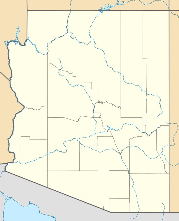
Map of Buckskin Mountains, Arizona, USA
The range lies at the north end of the Kaibab Plateau, of the North Rim of the Grand Canyon; the Kanab and Paria Plateaus of Arizona, lie southwest, and southeast.
The Buckskin Mountains border the Vermilion Cliffs National Monument of Arizona, southeast. The north portion of the range in Utah is located in the Grand Staircase-Escalante National Monument.
The northeast range terminus is Buckskin Gulch. To the range's east, across the narrow Coyote Valley of the north-flowing Coyote Wash, lies the Coyote Buttes of Arizona.
DescriptionEdit
The range trends approximately north-northeast, and descends steeply on its southeast flank to Coyote Wash. The range highpoint is Buckskin Mountain located just south of the state border in Arizona at 6,668 feet (2,032 m).
AccessEdit
The northeast, east, and south of the Buckskin Mountains can be accessed from U.S. Route 89A in Arizona from House Rock, Arizona, Road 1065, the House Rock Valley Road; the road is almost due-north trending, and in Utah, the road becomes The Cockscomb Road, connecting to U.S. 89, 17-mi west of Big Water.
Regions around the west and northwest of the Buckskin Mountains can be accessed from Kanab, and Canyon Point, Utah, 8-mi east of Kanab, on U.S. 89. U.S. 89 turns northeasterly at the mountains northwest flank, with access by unimproved roads.
The unimproved routes on the west, and southeast also connect to an improved route at the south terminus of the mountain range. The route comes from House Rock Valley Road, east, and its west route terminus, at U.S. 89A, 7-mi east of Fredonia, Arizona.