
Time zone CST (UTC-6) Area 152.2 km² Population 1,792 (2010) | Established November 7, 1865 Elevation 184 m Local time Sunday 5:08 PM | |
 | ||
ZIP codes 62513, 62531, 62567, 62568 Weather 12°C, Wind S at 35 km/h, 74% Humidity | ||
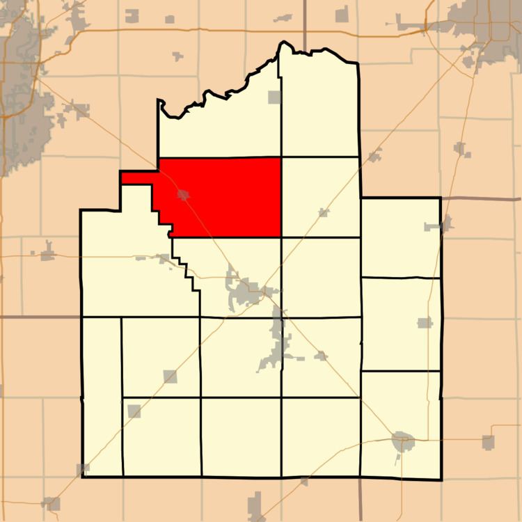
Buckhart Township is one of seventeen townships in Christian County, Illinois, USA. As of the 2010 census, its population was 1,792 and it contained 822 housing units.
Contents
- Map of Buckhart Township IL USA
- Geography
- Cities towns villages
- Unincorporated towns
- Extinct towns
- Cemeteries
- Major highways
- School districts
- Political districts
- References
Map of Buckhart Township, IL, USA
Geography
According to the 2010 census, the township has a total area of 58.75 square miles (152.2 km2), of which 58.72 square miles (152.1 km2) (or 99.95%) is land and 0.03 square miles (0.078 km2) (or 0.05%) is water.
Cities, towns, villages
Unincorporated towns
Extinct towns
(These towns are listed as "historical" by the USGS.)
Cemeteries
The township contains these four cemeteries: Bethel Baptist, Buckhart Dutch Reform, Edinburg and Goode.
Major highways
School districts
Political districts
References
Buckhart Township, Christian County, Illinois Wikipedia(Text) CC BY-SA