
Country United States County Prince William GNIS feature ID 2629765 Population 16,293 (2010) | Time zone Eastern (EST) (UTC-5) Local time Sunday 6:07 PM | |
 | ||
Weather 3°C, Wind SE at 3 km/h, 20% Humidity | ||
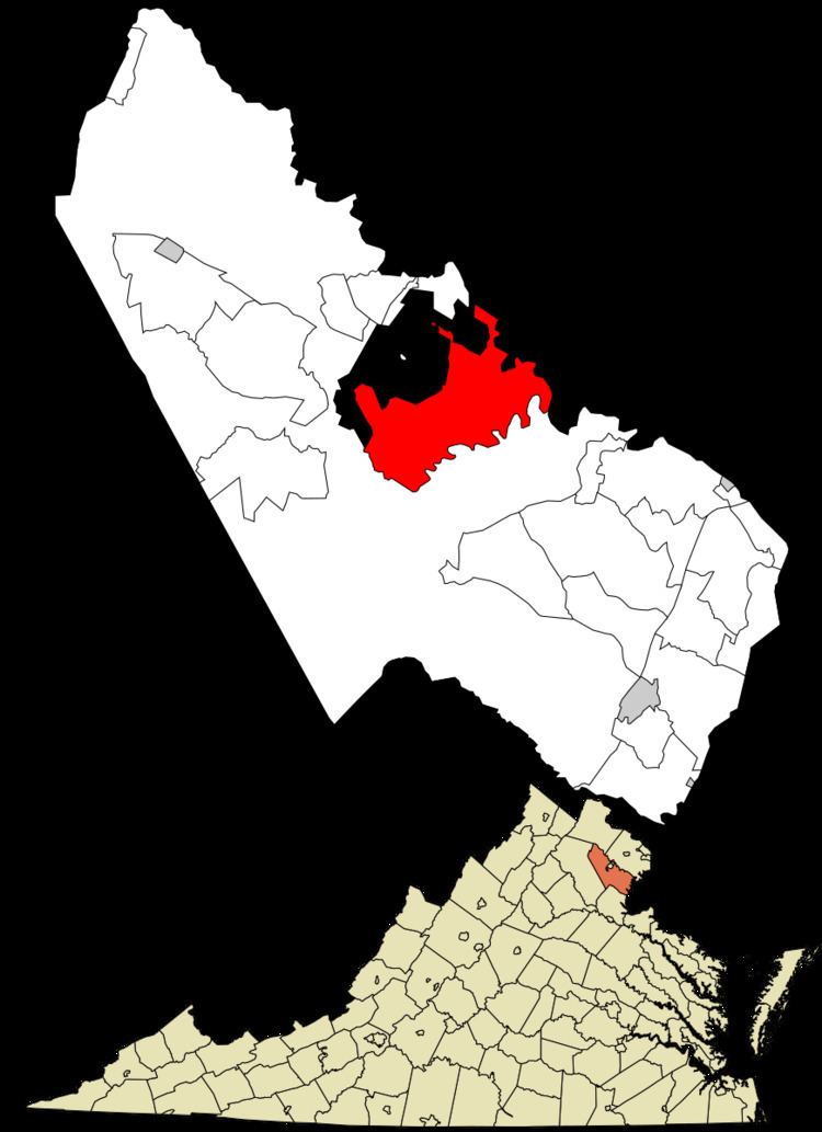
Buckhall, Virginia is an unincorporated town in the census-designated place (CDP) of the same name, in Prince William County, Virginia.
Contents
Map of Buckhall, VA 20111, USA
The population of the Buckhall CDP was 16,293, as of the 2010 Census .
The town is located on Moore Drive, just off the Prince William Parkway, a few miles south of Manassas, and not far from Signal Hill and the American Civil War's Bull Run Battlefield.
Demographics
Th Buckhall CDP has a population of 16,293 as of the census of 2010.
Origins
It is where the remnants of the original small town are now, that Buckhall School (formerly Oak Hill School) a one-room school house, was built in 1865, around which the village then grew up.
Adjacent to the site of the school, a general store was built, which was gutted by a fire on August 21, 2007. By October 2008, however, refurbishment of the Buckhall store had been completed, and it re-opened under new management.
The Buckhall Church (now Buckhall United Methodist Church) was built (ca. 1905) nearby, beside what is now Prince William Parkway, and still stands as of 2015. An addition was added onto the original church in 1988, and an even larger addition was completed in April 2007, while still preserving and retaining the older, historic Civil War era church building structure.
Buckhall Fire Dept.
The Buckhall Volunteer Fire Department (County Fire Station #516) is located on Yates Ford Drive just off the Prince William Parkway.