
GNIS feature ID 0766231 Area 108.8 km² Population 83 (2010) | FIPS code 29-09244 Elevation 277 m Local time Sunday 3:49 PM | |
 | ||
Weather 17°C, Wind S at 37 km/h, 60% Humidity | ||
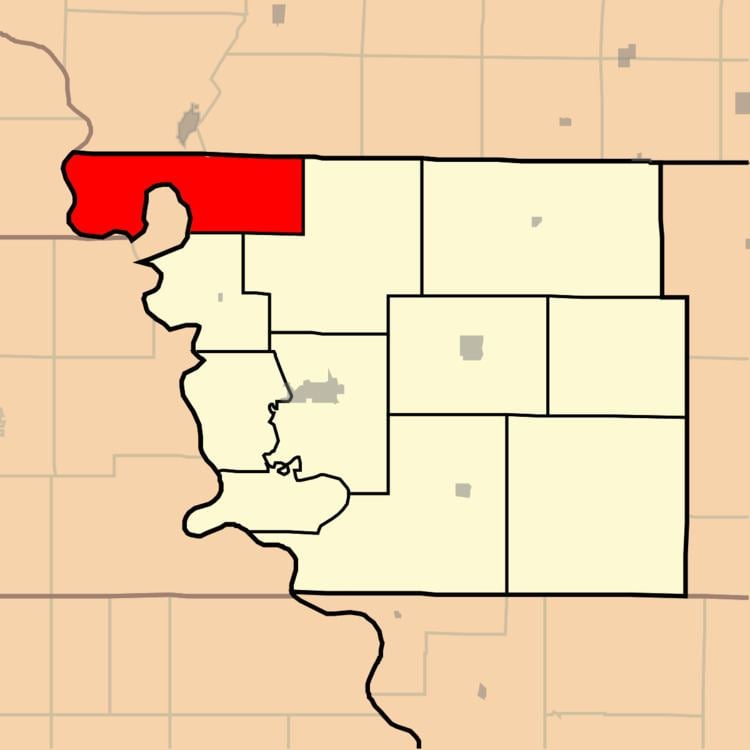
Buchanan Township is one of eleven townships in Atchison County, Missouri, United States. As of the 2010 census, its population was 83. The northwest corner of the township is the northwest corner of the entire state.
Contents
Map of Buchanan Township, MO, USA
Buchanan Township was established in 1858, and named after James Buchanan, the 15th President of the United States.
Geography
Buchanan Township covers an area of 41.7 square miles (108.0 km2) and contains no incorporated settlements. Buchanan Township has one cemetery: Union. Greys Lake is within this township.
References
Buchanan Township, Atchison County, Missouri Wikipedia(Text) CC BY-SA