
Lowest elevation 460 m (1,510 ft) Local time Sunday 4:56 AM | Highest elevation 525 m (1,722 ft) Population 40 | |
 | ||
Weather 10°C, Wind S at 18 km/h, 49% Humidity | ||
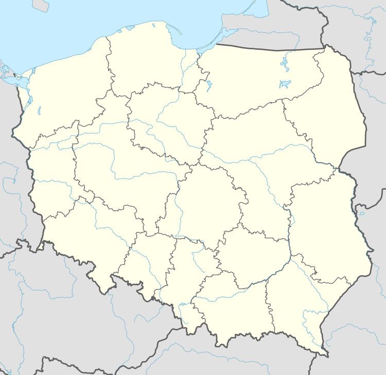
Brzozowiec [bʐɔˈzɔvʲɛt͡s] (Ukrainian: Березовець, Berezovets’) is a village in the administrative district of Gmina Zagórz, within Sanok County, Subcarpathian Voivodeship, in south-eastern Poland. It lies approximately 11 kilometres (7 mi) south-west of Zagórz, 14 km (9 mi) south of Sanok, and 69 km (43 mi) south of the regional capital Rzeszów.
Map of Brzozowiec, Czaszyn, Poland
The village has a population of 40.
References
Brzozowiec, Podkarpackie Voivodeship Wikipedia(Text) CC BY-SA