
Local time Sunday 5:02 AM | ||
 | ||
Weather 2°C, Wind SE at 11 km/h, 89% Humidity Voivodeship Warmian-Masurian Voivodeship | ||
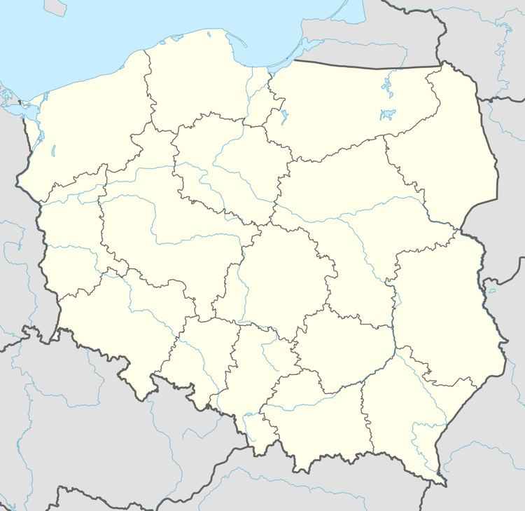
Brzozówko [bʐɔˈzufkɔ] (German: Birkenhöhe; until 1938: Brosowken) is a village in the administrative district of Gmina Budry, within Węgorzewo County, Warmian-Masurian Voivodeship, in northern Poland, close to the border with the Kaliningrad Oblast of Russia. It lies approximately 2 kilometres (1 mi) south of Budry, 9 km (6 mi) east of Węgorzewo, and 104 km (65 mi) north-east of the regional capital Olsztyn.
Map of Brzoz%C3%B3wko, Poland
Before 1945, the area was part of Germany (East Prussia). After World War II the region was placed under Polish administration and ethnically cleansed according to the post-war Potsdam Agreement. The native German populace was expelled and replaced with Poles.
References
Brzozówko Wikipedia(Text) CC BY-SA