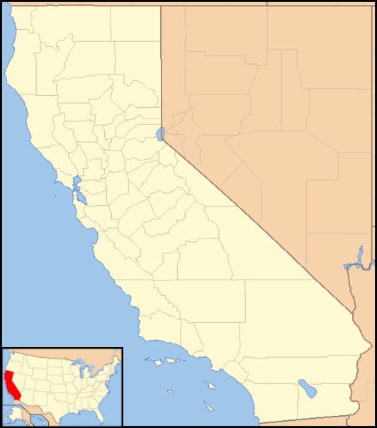
Country United States County Monterey County Elevation 295 m | State California GNIS feature ID 252862 Local time Saturday 7:24 PM | |
 | ||
Weather 8°C, Wind SW at 11 km/h, 90% Humidity | ||
Bryson (originally, Sapaque) is an unincorporated community in Monterey County, California. It is located 12 miles (19 km) south-southeast of Jolon, at an elevation of 968 feet (295 m).
Contents
Map of Bryson, CA 93426, USA
The Bryson post office operated from 1887 to 1937, moving in 1889, 1898, 1899, 1905, and 1906. The place, originally called Sapaque, was renamed in honor of an early settler and store owner.
Government
At the county level, Bryson is represented on the Monterey County Board of Supervisors by Supervisor Dave Potter.
In the California State Legislature, Bryson is in the 17th Senate District, represented by Democrat Bill Monning, and in the 30th Assembly District, represented by Democrat Anna Caballero.
In the United States House of Representatives, Bryson is in California's 20th congressional district, represented by Democrat Jimmy Panetta
