
Country United States GNIS feature ID 1512041 Population 1,870 (2010) | Time zone Pacific (PST) (UTC-8) Local time Saturday 6:33 PM | |
 | ||
Weather 6°C, Wind NE at 8 km/h, 50% Humidity Area 15.99 km² (15.91 km² Land / 9 ha Water) | ||
Bryant is a census-designated place (CDP) in Snohomish County, Washington, United States. The population was 1,870 at the 2010 census.
Contents
Map of Bryant, WA 98223, USA
A post office called Bryant was established in 1893, and remained in operation until 1954. The community most likely took its name from the Bryant Lumber and Shingle Company.
Geography
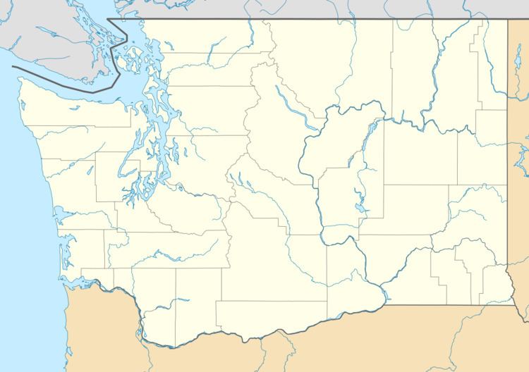
Bryant is located at 48°14′54″N 122°10′28″W (48.248420, -122.174430).
According to the United States Census Bureau, the CDP has a total area of 6.175 square miles (15.99 km²), of which, 6.141 square miles (15.91 km²) of it is land and 0.034 square miles (0.09 km²) of it (0.55%) is water.
References
Bryant, Washington Wikipedia(Text) CC BY-SA