
Country United States Time zone Central (CST) (UTC-6) Elevation 301 m | ZIP code 54820 Area 6.933 km² | |
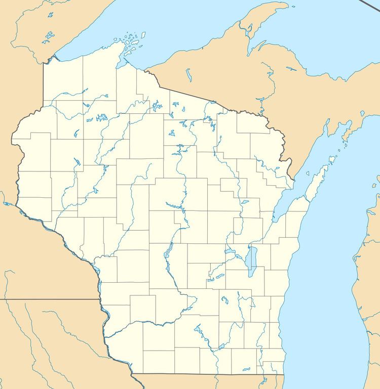 | ||
Brule is an unincorporated, census-designated place; located in the town of Brule, Douglas County, Wisconsin, United States.
Map of Brule, WI 54820, USA
U.S. Highway 2 serves as a main route in the community.
Brule is located 6.5 miles east–northeast of Lake Nebagamon; 30 miles east of the city of Superior; and 35 miles west of the city of Ashland.
As of the 2010 census, its population was 254.
Brule has a post office with ZIP code 54820.
References
Brule (CDP), Wisconsin Wikipedia(Text) CC BY-SA