
 | ||
Bruce Grove is a ward in Tottenham, enclosed by Lordship Recreation Ground, Lordship Lane, Philip Lane, and the High Road. The population of the ward at the 2011 Census was 14,483.
Map of Bruce Grove, London N17 6RG, UK
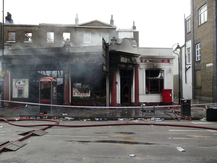
The Bruce Grove area of the Tottenham High Road has received a £1m grant from the Heritage Lottery Fund to restore the historic Victorian and Edwardian buildings to their original grandeur under the Bruce Grove Townscape Heritage Initiative (THI) project.
Nearby Bruce Castle was named after Robert the Bruce of Scottish history. When Robert became King of Scotland, Edward I seized his English Estates, including the area then known as Bruce Manor.
The area is served by Bruce Grove railway station — trains go to Liverpool Street, Enfield Town and Cheshunt.
The neighbourhood dates back further to Roman times with Ermine Street (High Rd) and to medieval times with the Swan Public House but most of the houses were built in the late Victorian/ Edwardian Era following the building of the Great Eastern Railway Enfield Branch. Bruce Grove the road has some nice Georgian architecture and a very pretty Almshouse - Edmanson’s Close (1869).
Shop and building owners will receive grants to restore historical architectural elements such as shop fronts, awning, domes and columns on the faces of the buildings. New heritage street lighting will be installed and the buildings will be cleaned and repaired.
7 Bruce Grove features an English Heritage blue plaque to Luke Howard (1772–1864), the meteorologist who named the clouds in 1802.