
OS grid reference NT692772 Post town DUNBAR Local time Saturday 9:44 PM | Sovereign state United Kingdom Postcode district EH42 Dialling code 01368 | |
 | ||
Weather 4°C, Wind S at 8 km/h, 98% Humidity | ||
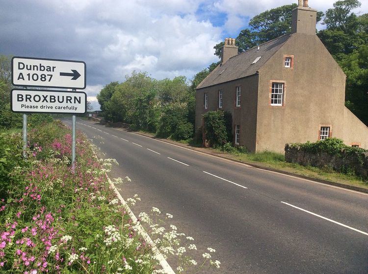
Broxburn is a hamlet consisting of a handful of scattered houses which serve the Broxmouth estate in East Lothian, Scotland. It is named after the creek upon which it stands, the Brox Burn. It lies about 1.5 miles (2.4 km) south-east of Dunbar. On the Brox Burn is Brand's Mill, dating from mediaeval times. The Battle of Dunbar, on 3 September 1650, took place on the foothills directly south, halfway between Brand's Mill and the hamlet of Little Pinkerton.
Map of Broxburn, Dunbar, UK
References
Broxburn, East Lothian Wikipedia(Text) CC BY-SA