
Country United States ZIP code 39041 Elevation 90 m | Time zone Central (CST) (UTC-6) Area code(s) 601 Local time Saturday 3:26 PM | |
 | ||
Weather 20°C, Wind SE at 11 km/h, 20% Humidity | ||
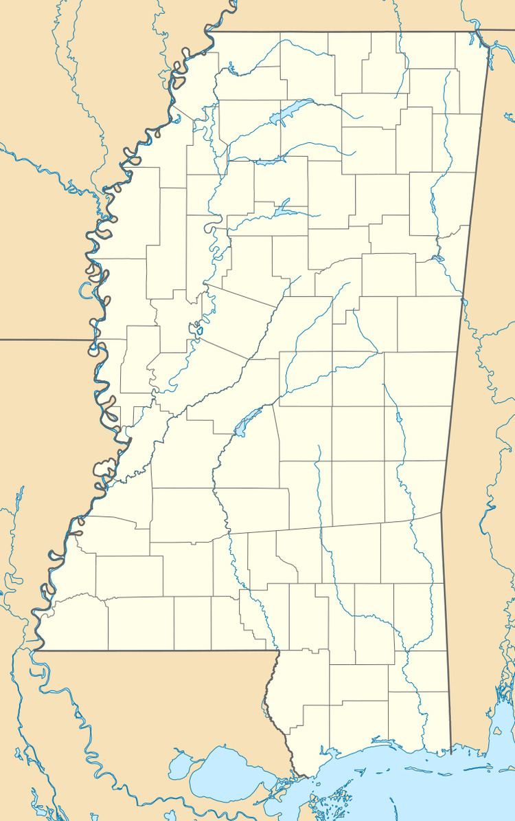
Brownsville is an unincorporated community located on Mississippi Highway 22 in northern Hinds County, Mississippi. Brownsville is approximately 12 miles (19 km) southwest of Flora and approximately 8 miles (13 km) north of Bolton.
Map of Brownsville, Mississippi 39041, USA
Brownsville is part of the Jackson Metropolitan Statistical Area.
References
Brownsville, Mississippi Wikipedia(Text) CC BY-SA