
County Montgomery FIPS code 18-08506 Elevation 246 m Local time Saturday 4:12 PM | State Indiana GNIS feature ID 431643 Zip code 47989 | |
 | ||
Weather 9°C, Wind E at 21 km/h, 42% Humidity | ||
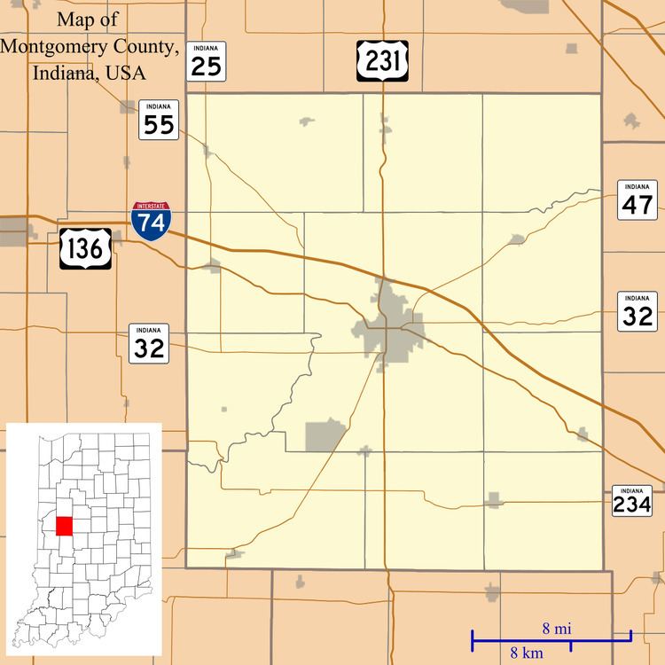
Browns Valley is an unincorporated community in Brown Township, Montgomery County, Indiana.
Contents
Map of Browns Valley, IN 47933, USA
History
Browns Valley was platted by Matthias VanCleave in 1836. The community contained a post office until 1945.
Geography
Brown's Valley is located at 39°54′11″N 86°59′31″W.
References
Browns Valley, Indiana Wikipedia(Text) CC BY-SA