
Country United States County Fairfax GNIS feature ID 1499170 | State Virginia Time zone Eastern (EST) (UTC-5) Local time Saturday 4:10 PM | |
 | ||
Weather 5°C, Wind NW at 24 km/h, 24% Humidity | ||
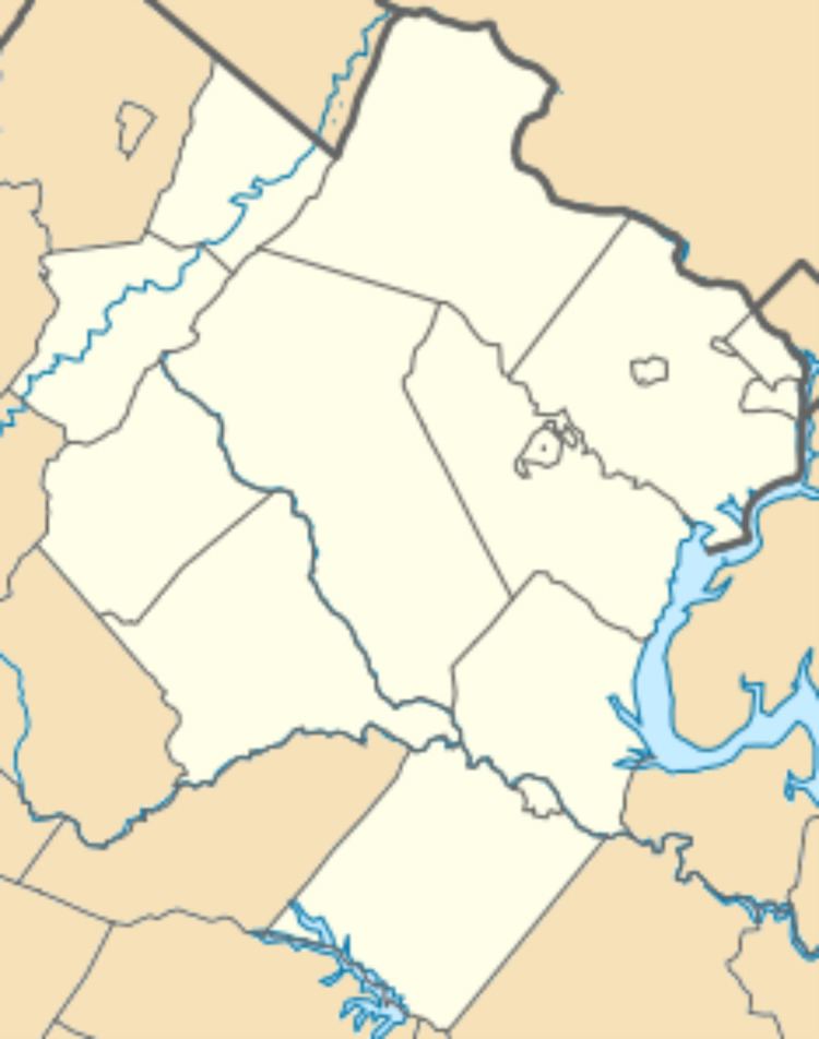
Browns Mill is an unincorporated community in Fairfax County, Virginia, United States. Browns Mill is located at the intersection of Beulah and Browns Mill Roads midway between the Dulles Toll Road (Virginia State Route 267) and the Leesburg Pike (State Route 7). Nearby is Wolftrap Stream Valley Park and Wolftrap Creek, which Browns Mill once operated upon.
Map of Browns Mill, Wolf Trap, VA 22182, USA
References
Browns Mill, Virginia Wikipedia(Text) CC BY-SA