
Country United States FIPS code 29-08884 Elevation 231 m Zip code 64630 Population 257 (2013) | Time zone Central (CST) (UTC-6) GNIS feature ID 0714793 Area 135 ha Local time Saturday 3:00 PM Area code 660 | |
 | ||
Weather 21°C, Wind S at 21 km/h, 21% Humidity | ||
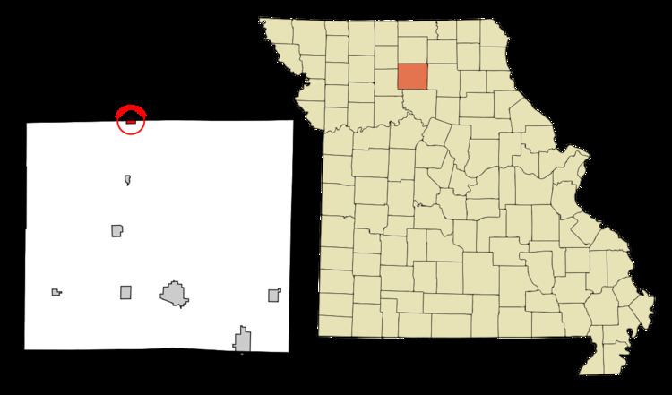
Browning is a city in Linn and Sullivan counties in the U.S. state of Missouri. The population was 265 at the 2010 census.
Contents
Map of Browning, MO 64630, USA
History
Browning was laid out and platted in 1872. The community was named in honor of the family of J. A. Browning, a railroad employee. A post office called Browning has been in operation since 1873.
Geography
Browning is located at 40°2′6″N 93°9′38″W (40.034934, -93.160443).
According to the United States Census Bureau, the city has a total area of 0.52 square miles (1.35 km2), all of it land.
2010 census
As of the census of 2010, there were 265 people, 110 households, and 72 families residing in the city. The population density was 509.6 inhabitants per square mile (196.8/km2). There were 144 housing units at an average density of 276.9 per square mile (106.9/km2). The racial makeup of the city was 96.2% White, 0.4% African American, 0.4% Native American, 0.4% from other races, and 2.6% from two or more races. Hispanic or Latino of any race were 6.8% of the population.
There were 110 households of which 31.8% had children under the age of 18 living with them, 40.9% were married couples living together, 14.5% had a female householder with no husband present, 10.0% had a male householder with no wife present, and 34.5% were non-families. 31.8% of all households were made up of individuals and 10.9% had someone living alone who was 65 years of age or older. The average household size was 2.41 and the average family size was 2.99.
The median age in the city was 38.7 years. 26.4% of residents were under the age of 18; 5.3% were between the ages of 18 and 24; 27.2% were from 25 to 44; 24.9% were from 45 to 64; and 16.2% were 65 years of age or older. The gender makeup of the city was 50.2% male and 49.8% female.
2000 census
As of the census of 2000, there were 317 people, 143 households, and 80 families residing in the city. The population density was 604.5 people per square mile (235.4/km²). There were 177 housing units at an average density of 337.5 per square mile (131.4/km²). The racial makeup of the city was 98.42% White, 0.32% Native American, and 1.26% from two or more races. Hispanic or Latino of any race were 0.95% of the population.
There were 143 households out of which 20.3% had children under the age of 18 living with them, 44.1% were married couples living together, 9.1% had a female householder with no husband present, and 43.4% were non-families. 35.0% of all households were made up of individuals and 20.3% had someone living alone who was 65 years of age or older. The average household size was 2.22 and the average family size was 2.77.
In the city the population was spread out with 18.6% under the age of 18, 9.1% from 18 to 24, 24.9% from 25 to 44, 21.8% from 45 to 64, and 25.6% who were 65 years of age or older. The median age was 43 years. For every 100 females there were 83.2 males. For every 100 females age 18 and over, there were 84.3 males.
The median income for a household in the city was $19,167, and the median income for a family was $30,625. Males had a median income of $21,250 versus $17,500 for females. The per capita income for the city was $11,266. About 17.0% of families and 26.9% of the population were below the poverty line, including 50.0% of those under age 18 and 13.0% of those age 65 or over.