
Country U. S. A. Elevation 270 m | Time zone CST (UTC-6) Local time Saturday 2:43 PM | |
 | ||
Weather 21°C, Wind S at 21 km/h, 21% Humidity | ||
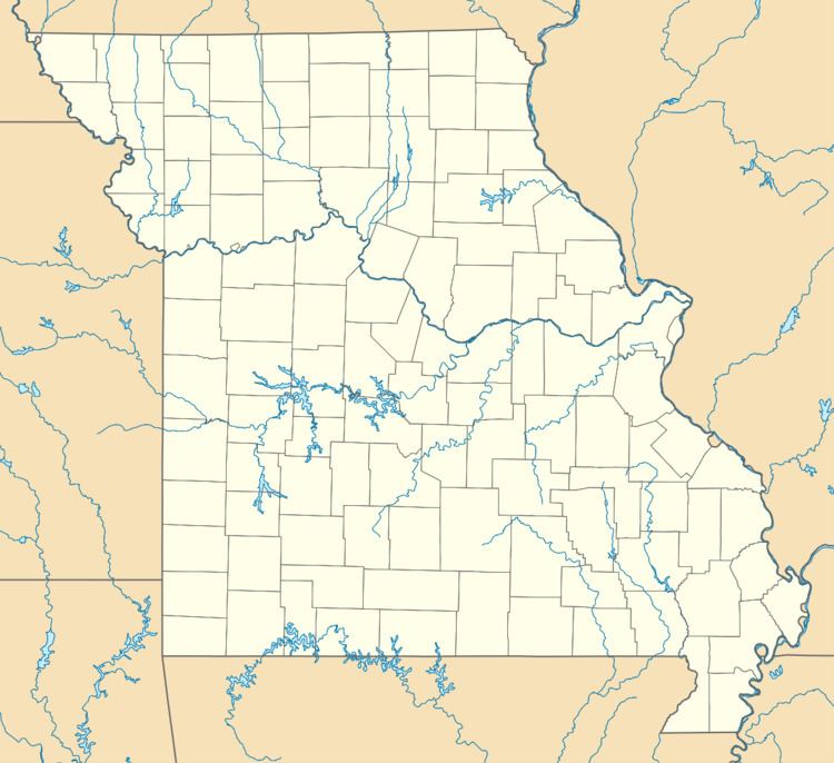
Brownbranch is an unincorporated community in northeastern Taney County, Missouri, United States. It is located on Beaver Creek at the intersection of Route 76 and Missouri Supplemental Route W about 23 miles (37 km) northeast of Forsyth. Bradleyville lies about 5.7 miles (9.2 km) to the west on Route 76 and McClurg lies about 3.5 miles (5.6 km) to the east on Route W. The community is part of the Branson, Missouri Micropolitan Statistical Area.
Map of Brownbranch, Beaver Township, MO 65608, USA
Brownbranch had a post office from 1875 to 1962 (known as Brown Branch for the first 20 years). The community was named after the Brown family, which lived at a nearby creek.
References
Brownbranch, Missouri Wikipedia(Text) CC BY-SA