
Population 263 (2011 census) Postcode(s) 4620 Brooweena Aramara Postal code 4620 | Established 1889 Founded 1889 Local time Sunday 3:57 AM | |
 | ||
Weather 23°C, Wind S at 8 km/h, 92% Humidity | ||
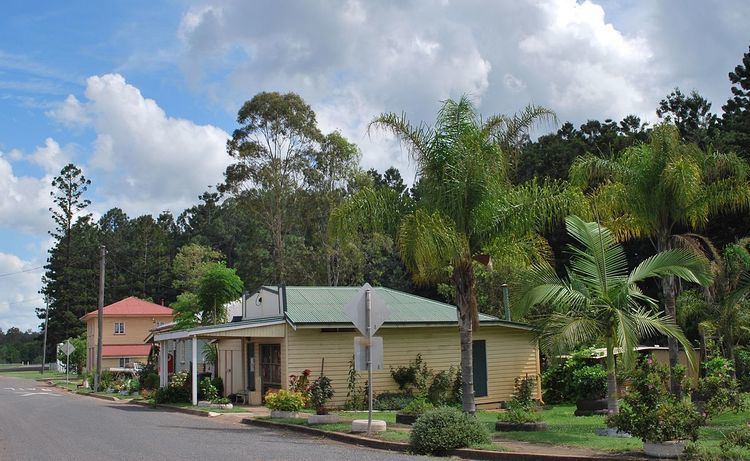
Brooweena is a small town and rural locality in Fraser Coast Region of Queensland, Australia. In the 2011 census, Brooweena had a population of 263 people.
Contents
Map of Brooweena QLD 4620, Australia
Geography
The town is located in the Wide Bay–Burnett area and is 266 kilometres (165 mi) north of the state capital, Brisbane. It is on the Maryborough-Biggenden Road. The north-west of the locality includes a large portion of the Wongi National Park and the Wongi State Forest.
History
The town was established following the arrival of the Mungar Junction to Monto Branch Railway in 1889.
Brooweena Post Office opened on 23 December 1889.
Brooweena Provisional School opened on 21 March 1904; the first teacher was Eugenie Eveline Hay. It was upgraded to a State School in 1909.
In 1915, the chambers of the newly established Shire of Woocoo were constructed in the town. This small building survives to this day as part of the Early Settlers Museum operated by the Woocoo Historical Society.
In 1922 the residents of the Woocoo Shire erected a war memorial outside St Mary's Church of England. In 1992 the memorial was relocated to the Woocoo Historical Museum.
A timber mill was established in 1924, ensuring the continuing existence of the town.
New council chambers were opened in Brooweena on 14 April 1962 by Jack Pizzey, the Member of the Queensland Legislative Assembly for Isis.
The town set an unofficial record in 2009 when 134 people simultaneously played the lagerphone.
Heritage listings
Brooweena has a number of heritage-listed sites, including:
Education
Brooweena State School is a government primary (P-7) school located in Lahey Street (25.59932°S 152.261265°E / -25.59932; 152.261265 (Brooweena State School)). In 2012, the school had an enrolment of 20 students with 2 teachers (1.5 full-time equivalent). There is no secondary school in Brooweena; the nearest are in Maryborough to the east or Gayndah to the west.