
Population 302 (2011 census) Civil parish Broomfleet Local time Saturday 5:51 PM UK parliament constituency Haltemprice and Howden | OS grid reference SE881273 Dialling code 01430 | |
 | ||
Weather 9°C, Wind S at 14 km/h, 63% Humidity | ||
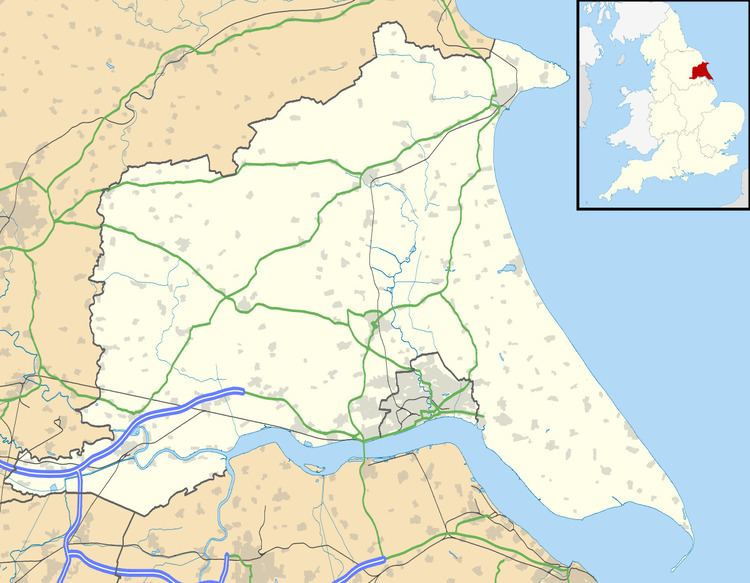
Broomfleet is a village and civil parish in the East Riding of Yorkshire, England. It is situated on the Humber estuary approximately 4 miles (6 km) west of Brough. According to the 2011 UK Census, Broomfleet parish had a population of 302, an increase on the 2001 UK Census figure of 293.
Map of Broomfleet, Brough, UK
The village is served by Broomfleet railway station on the Selby Line.
Whitton Island in the Humber estuary falls partly within the parish. The island was formed from a mud and sand bank at the turn of the 21st century.
References
Broomfleet Wikipedia(Text) CC BY-SA