
Population 338 Sovereign state United Kingdom | Civil parish Broome Post town Stourbridge Local time Saturday 5:48 PM | |
 | ||
Weather 8°C, Wind S at 14 km/h, 81% Humidity | ||
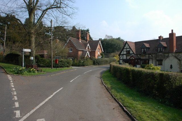
Broome is a village and civil parish in the Wyre Forest District of Worcestershire, England. According to the 2001 census it had a population of 338. The village is situated just south of the border with West Midlands and includes the village of Broome as well as the hamlets of Hackmans Gate and Yieldingtree.
Map of Broome, Stourbridge, UK
In 1870-72, John Marius Wilson's Imperial Gazetteer of England and Wales described Broome like this:
BROOM, a parish in Kidderminster district, Worcester; 1 mile E of Churchill r. station, and 3½ S of Stourbridge. Post Town, Churchill, under Kidderminster. Acres, 716. Real property, £1,726. Pop., 118. Houses, 24. The property is divided among a few. Broom House is a chief residence. The living is a rectory in the diocese of Worcester. Value, £320.* Patron, J. G. Bourne, Esq. The church is a brick structure, with a tower; and contains a marble monument by Flaxman.