
Country United States Time zone CST (UTC-6) Elevation 137 m Local time Saturday 11:26 AM University Kaskaskia College | Established November 4, 1873 ZIP codes 62250, 62801 Area 63.01 km² Population 5,503 (2010) | |
 | ||
Weather 15°C, Wind SW at 26 km/h, 40% Humidity | ||
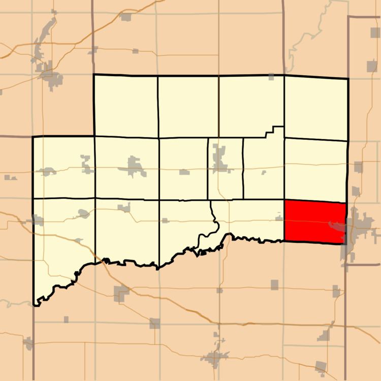
Brookside Township is one of fifteen townships in Clinton County, Illinois, USA. As of the 2010 census, its population was 5,503 and it contained 1,700 housing units. The township's name changed from Crooked Creek Township on June 1, 1874.
Contents
- Map of Brookside Township IL 62801 USA
- Geography
- Cities towns villages
- Cemeteries
- Major highways
- Airports and landing strips
- Landmarks
- School districts
- Political districts
- References
Map of Brookside Township, IL 62801, USA
Geography
According to the 2010 census, the township has a total area of 24.33 square miles (63.0 km2), all land.
Cities, towns, villages
Cemeteries
The township contains these seven cemeteries: Barker, Chambers, Garrison, Gilmore, Jolliff, Jones and Petrea.
Major highways
Airports and landing strips
Landmarks
School districts
Political districts
References
Brookside Township, Clinton County, Illinois Wikipedia(Text) CC BY-SA