
Country United States Time zone CST (UTC-6) Area 93.84 km² Population 793 (2010) | Established November 6, 1849 Elevation 281 m Local time Saturday 10:57 AM | |
 | ||
ZIP codes 61318, 61342, 61353, 61378 Weather 3°C, Wind SE at 29 km/h, 66% Humidity | ||
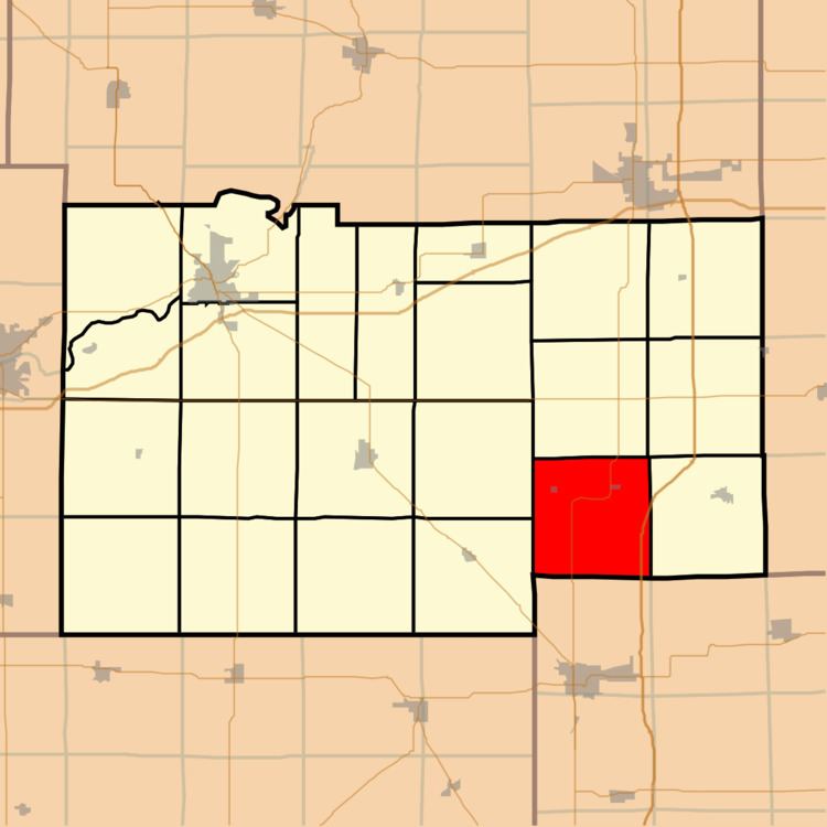
Brooklyn Township is one of twenty-two townships in Lee County, Illinois, USA. As of the 2010 census, its population was 793 and it contained 358 housing units. In September 1858, Reynolds Township was formed from part of Brooklyn Township.
Contents
- Map of Brooklyn Township IL USA
- Geography
- Cities towns villages
- Unincorporated towns
- Extinct towns
- Cemeteries
- Airports and landing strips
- School districts
- Political districts
- References
Map of Brooklyn Township, IL, USA
Geography
According to the 2010 census, the township has a total area of 36.23 square miles (93.8 km2), of which 36.22 square miles (93.8 km2) (or 99.97%) is land and 0.01 square miles (0.026 km2) (or 0.03%) is water.
Cities, towns, villages
Unincorporated towns
(This list is based on USGS data and may include former settlements.)
Extinct towns
(This town is listed as "historical" by the USGS.)
Cemeteries
The township contains these four cemeteries: Brooklyn, Brooklyn Lutheran, Saint Mary's and Union.
Airports and landing strips
School districts
Political districts
References
Brooklyn Township, Lee County, Illinois Wikipedia(Text) CC BY-SA