
Country United States County DeKalb ZIP codes 30319, 30341 Local time Saturday 1:48 AM | Time zone Eastern (EST) (UTC-5) Area code(s) 404/678/770 | |
 | ||
Weather 3°C, Wind NW at 8 km/h, 41% Humidity Points of interest Murphey Candler Park, Blackburn Park, Oglethorpe University Museum, Lynwood Park | ||
Brookhaven is a city in the northeastern suburbs of Atlanta. Home to about 51,029, it is located in western DeKalb County, Georgia, United States, directly northeast of Atlanta. On July 31, 2012, Brookhaven was approved in a referendum to become DeKalb County's 11th city. Incorporation officially took place on December 17, 2012, on which date municipal operations commenced. With a population of around 49,000, it is the largest city in DeKalb County. The new city stretches over 12 square miles.
Contents
- Map of Brookhaven GA USA
- History
- Geography
- Neighborhoods and districts
- Demographics
- Retail
- Education
- Primary and secondary schools
- Public libraries
- Parks
- Roads
- Mass Transit
- Heavy Rail
- Buses
- References
Map of Brookhaven, GA, USA
History
Brookhaven's first permanent European settler was John Evins, who started a plantation around 1810. Harris and Solomon Goodwin, who moved to Georgia from South Carolina, became owners of the land in the 1830s. The Goodwin home and the family graveyard have been preserved at the 3900 block of Peachtree Road, near Dresden Drive. A train station known as Goodwin's was constructed along the Atlanta and Richmond (later Atlanta and Charlotte) railway in 1873.
The settlement of Cross Keys, with a population of 250 in 1876, was located one mile (2 km) north along the rail line from Goodwin's. In 1879 Cross Keys was described:
Nancy's Creek furnished power for operating a mill. The place has two churches—Methodist and Baptist—one common school, and steam cotton gins. Cotton and wood form the chief exports. About 140 bales of cotton shipped per annum, most of which is carried to Atlanta by wagon. Population within a radius of 2 miles [3 km], near 400. Mail daily… Depot and station [is] one and one-quarter miles [2.0 km] distant [from] this place.
Atlanta residents began constructing summer cottages in the community around 1900. In 1910, 150 acres (61 ha) on the north side of Peachtree Road were purchased for development as a planned community surrounding a golf course. The nine-hole golf course, designed by Herbert Barker, a golf pro from Garden City, Long Island, opened in 1912. Residences developed in three phases, with Brookhaven Estates designed in 1910, followed by Country Club Estates in 1929 and the Carleton Operating Company in 1936. Independently, Edwin P. Ansley sold lots in the area, calling it Oglethorpe Park. Construction of the historic neighborhood was largely complete by the end of World War II. The country club became part of the downtown Capital City Club in 1911, and its name was changed to the Capital City Country Club. The golf course was expanded from nine to eighteen holes in 1915. The clubhouse, designed by Preston Stevens in the French Provencial style, was completed in 1928.
The area was incorporated as the city of North Atlanta in 1924. In 1963, the North Atlanta's leaders asked the state Legislature to allow a referendum on a new city charter. The Legislature agreed, but also included an additional option in the referendum: disincorporation. The majority of voters chose disincorporation, and the city's charter was dissolved in 1965.
From the 1950s to the 1970s, major commercial and residential development took place in Brookhaven, resulting in the area being largely built-out by 1980. The Brookhaven MARTA Station opened in 1984. In 1986, the Capital City Club and its surrounding estate homes were placed on the National Register of Historic Places, and the neighborhood is now officially known as "Historic Brookhaven."
The idea of incorporating Brookhaven as a city was first brought up in 2007, with the purpose of securing local community control over planning, zoning, land use, police, fire protection, and parks and recreation---rather than having those issues decided from Decatur. However, the idea failed to gain momentum. The proposed city would have included 53,000 people. In 2011, the incorporation of Brookhaven was revived when state Rep. Mike Jacobs announced plans to introduce legislation allowing the creation of a city of Brookhaven, over the objections of many residents of the neighborhood of Historic Brookhaven, which would not lie in the proposed city boundaries. On July 31, 2012, 55% of voters chose to incorporate the city of Brookhaven. In December of that same year J.Max Davis was elected as the city's first Mayor.
Geography
Brookhaven is located at 33°52′47″N 84°21′6″W (33.879722, -84.351667). The city of Brookhaven is bounded by:
Neighborhoods and districts
Demographics
The 2010 census counted 40,456 residents in the North Atlanta CDP.
2000 census
The 2000 census counted 38,579 people, 15,886 households and 7,402 families residing in the North Atlanta CDP. The population density was 5,040.6 per square mile (1,947.1/km²). There were 16,636 housing units at an average density of 2,173.6/sq mi (839.6/km²). The racial makeup of the CDP was 61.52% White, 17.56% African American, 0.41% Native American, 4.88% Asian, 0.05% Pacific Islander, 12.64% from other races, and 2.94% from two or more races. Hispanic or Latino of any race were 27.41% of the population.
There were 15,886 households of which 18.5% had children under the age of 18 living with them, 33.3% were married couples living together, 7.4% had a female householder with no husband present, and 53.4% were non-families. 35.0% of all households were made up of individuals and 4.4% had someone living alone who was 65 years of age or older. The average household size was 2.35 and the average family size was 3.04.
15.6% of the population were under the age of 18, 15.2% from 18 to 24, 47.2% from 25 to 44, 15.7% from 45 to 64, and 6.2% who were 65 years of age or older. The median age was 31 years. For every 100 females there were 121.9 males. For every 100 females age 18 and over, there were 124.2 males.
The median household income was $52,333 and the median family income was $52,679. Males had a median income of $35,742 compared with $37,043 for females. The per capita income was $32,087. About 7.6% of families and 11.8% of the population were below the poverty line, including 16.1% of those under age 18 and 9.0% of those age 65 or over.
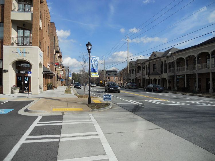
Retail
Large retail centers in Brookhaven include the Town Brookhaven, a 600,000-square-foot (56,000 m2) mixed-use district on a 54-acre (22 ha) site opened in 2010, and Northeast Plaza, a 466,000-square-foot (43,300 m2), late-1950s strip mall-style shopping center on Buford Highway focused on discount and Hispanic-oriented stores.
Education
Colleges and universities in Brookhaven include Oglethorpe University as well Georgia State University's Brookhaven satellite campus for the Robinson College of Business MBA program. Both are located on Peachtree Road.
Primary and secondary schools
DeKalb County School System operates the public schools serving Brookhaven. The public elementary schools serving the city are Ashford Park Elementary, Montclair Elementary, Montgomery Elementary, Kittredge middle magnet school and Woodward Elementary. Montgomery Elementary is one of only 5 residential public schools in all of Dekalb County to exceed 90% in every CRCT category. The public secondary schools serving the city are Cross Keys High School in Brookhaven, and Chamblee Charter High School. Private schools include Our Lady of the Assumption Catholic School, St. Martin in the Fields Episcopal School, and Marist School.
PATH Academy, a charter school, is in Brookhaven.
From its opening in 1990 until 2003, the Seigakuin Atlanta International School was located on the property of Oglethorpe University. This facility is now occupied by PATH Academy.
Public libraries
DeKalb County Public Library operates the Brookhaven Library.
Parks
Roads
Mass Transit
The Metropolitan Atlanta Rapid Transit Authority(MARTA) provides heavy rail and bus service for Brookhaven, as well as the surrounding areas.
Heavy Rail
Buses
Both Brookhaven/Oglethorpe and Medical Center Stations have several bus routes that serve Brookhaven, including:
*Route 39 leaves from Lindbergh Center and Doraville Stations, but still serves the southern part of the city.