Highest elevation 140 m (460 ft) Elevation 140 m | Length 7.4 km (4.6 mi) Population Uninhabited | |
 | ||
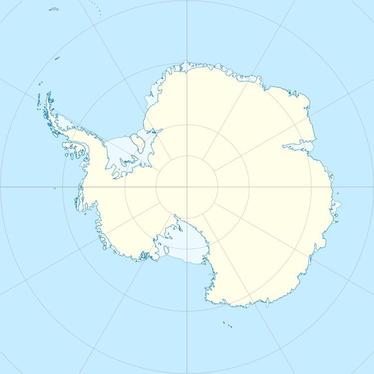
Broka Island (67°7′S 58°36′E) is a rocky island, 7.4 kilometres (4 nmi) long and rising to 140 metres (460 ft), with a prominent cove indenting the north side, situated 3.7 kilometres (2 nmi) north of Law Promontory and 1.9 kilometres (1 nmi) west of Havstein Island. It was mapped by Norwegian cartographers from aerial photographs taken by the Lars Christensen Expedition, 1936–37. They applied the name Broka (the trousers) because the outline of the island resembles that of a pair of trousers.
References
Broka Island Wikipedia(Text) CC BY-SA
