
Population 312 (2011 census) Sovereign state United Kingdom Local time Saturday 2:27 AM Dialling code 01284 | OS grid reference TL8254 Postcode district IP29 | |
 | ||
Weather 7°C, Wind SE at 10 km/h, 98% Humidity | ||
Brockley (not to be confused with Brockley Green which is 11 miles away) is a civil parish in the St Edmundsbury borough of Suffolk, England. According to the 2001 census it had a population of 281 increasing to 312 at the 2011 Census.
Map of Brockley, UK
It is situated approximately 7 miles (11 km) south of Bury St Edmunds and 9 miles (14 km) north of Sudbury on the B1066. Also it is 2 miles (3 km) north of Hartest. A small hamlet, recorded in Domesday as "Brochola" or "Broclega": the name originates from 'woodland clearing by a brook'.
Mill Road marks the location of a former post mill which was demolished in 1930. East of B1066 is Willow Tree Farm (now Britton's Farm) (farthest out) with a small chapel (halfway to B1066). West of B1066 is Mile Farm (now Long's Farm) with the Pumping Station farthest west.
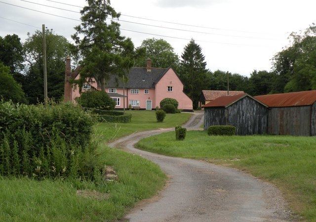
Brockley Hall and St Andrew's church are still around 1 km north of the village. St Andrew's dates from mediaeval times but was renovated in 1866. It is a grade II* listed building.
There have been no public houses in the village since the 1980s, although prior to that there had been two: the Fox and Hounds and The Six Bells.
A blacksmith used to be next door to the pub. A shop, and petrol station closed some years ago.
Brockley Cricket Club started over 60 years ago and supports three league teams playing in local leagues, a midweek team and a youth programme. The village also supports an indoor bowls club that has enjoyed some success in the past.