
Legislature House of Commons First contested 1935 Population (1941)1941 census 59,454 Census division Toronto Elector 41,299 | District created 1933 Last contested 1978 Electors (1945) 41,299 District abolished 1976 | |
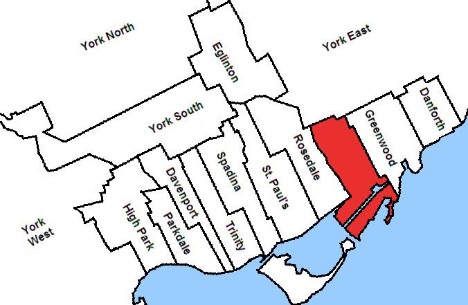 | ||
Broadview was a federal electoral district in Ontario, Canada, that was represented in the Canadian House of Commons from 1935 to 1979. This riding was created in 1933 from parts of Toronto East and Toronto—Scarborough ridings.
It initially consisted of the part of the city of Toronto bounded by a line drawn north from Lake Ontario along Leslie Avenue, west along Eastern Avenue, north along Rushbrook Avenue, west along Queen Street, north along Jones Avenue, west along Danforth Avenue, north along Langford Avenue, thence west along the city limits, and south and west along the Don River to Toronto Bay.
In 1966, it was redefined to consist of the part of Metropolitan Toronto bounded by a line drawn north from Lake Ontario along Leslie Street, east along Queen Street East, north along Greenwood Avenue, west along Sammon Avenue, south along Pape Avenue, west along Fulton Avenue to Broadview Avenue, south along the Don River, west along Lake Shore Boulevard East, and south along Cherry Street to Lake Ontario.
Its provincial counterpart in elections to the Ontario Legislative Assembly was the riding of Riverdale which covered much of the same area.
Broadview was abolished in 1976 when it was redistributed between Beaches, Broadview—Greenwood and Rosedale ridings.
1935 Boundaries
On Mr. Church's death, 7 February 1950:
On Mr. Gilbert's resignation, 28 April 1978: