
Climate Dfb Area 424.4 km² | Time zone EET (UTC+2) Website Official site Local time Saturday 11:51 PM | |
 | ||
Weather 3°C, Wind SW at 16 km/h, 60% Humidity | ||
Broșteni is a town in Suceava County, north-eastern Romania. It is situated in the historical region of Moldavia. Broșteni is the fourteenth largest urban settlement in the county, with a population of 5,388 inhabitants, according to the 2011 census. It was declared a town in 2004, along with seven other localities in Suceava County. The town administers the former villages of Hăleasa, Lungeni and Neagra (which became neighborhoods in 2004) and Cotârgași, Dârmoxa, Frasin, Holda, Holdița and Pietroasa (with the status of associated villages).
Map of Bro%C8%99teni 727075, Romania
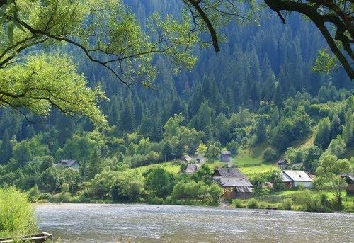
Broșteni is a former mining community located on the banks of Bistrița River, between Bistriței Mountains and Stânișoara Mountains. It administers a total area of 424.40 km² – the largest area being administered by a single locality in Suceava County. The national road between Vatra Dornei and Piatra Neamț is the main communication way for Broșteni, which is not connected to the national railway system.