
OS grid reference TA075537 Sovereign state United Kingdom Postcode district YO25 Dialling code 01262 | Post town DRIFFIELD Local time Friday 12:49 PM | |
 | ||
Weather 7°C, Wind SE at 18 km/h, 85% Humidity | ||
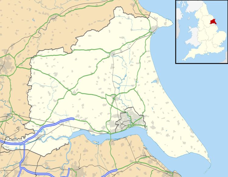
Brigham is a small village in the East Riding of Yorkshire, England. It is situated approximately 4 miles (6 km) south-east from Driffield, 15 miles (24 km) north of Hull city centre, and to the west of the B1249 road. The village forms part of the civil parish of Foston on the Wolds.
Contents
- Map of Brigham Driffield UK
- Driffield Navigation
- Brigham position on the Driffield Navigation
- References
Map of Brigham, Driffield, UK
Driffield Navigation
The Driffield Navigation canal passes at the west of the village. The Brigham section of the Driffield Navigation was dug about 1767. A swing bridge was built across the canal to allow access to Elm Tree Farm, and a footpath to Corpslanding and Hutton Cranswick. In 1967, after a decline in canal traffic, the swing bridge was kept closed, and was replaced by a fixed bridge in the 1970s. In 2003 a new working swing bridge was installed.
Brigham position on the Driffield Navigation
A village sailing club was established in 1928.