
Quadrant SW Established 1998 Population 11,641 (2011) | Ward 13 Elevation 1,100 m (3,600 ft) | |
 | ||
Weather -5°C, Wind SW at 10 km/h, 72% Humidity Restaurants Brothers Taste of Asia, Getta Pizza, Donair Grill, Bull & Finch Bridlewo, Yummy Yummy Restaurant | ||
Bridlewood is a residential neighbourhood in the south-west quadrant of Calgary, Alberta. It is located at the south-western edge of the city, north of the Spruce Meadows Trail and south of the community of Evergreen. To the east it borders the Bridlewood Creek Wetland, a wetland created by the City of Calgary as a stormwater retention pond. The Spruce Meadows equestrian facility is located immediately south.
Contents
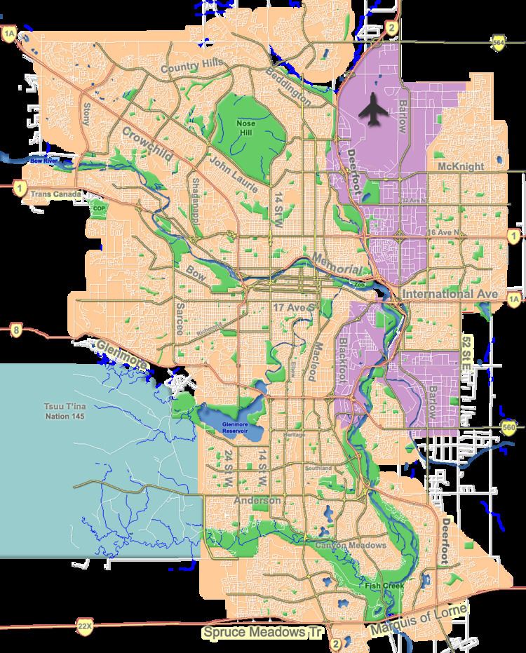
Map of Bridlewood, Calgary, AB, Canada
It is represented in the Calgary City Council by the Ward 13 councillor.
Established as recently as 1998, Bridlewood is a relatively new community.
Demographics
In the City of Calgary's 2012 municipal census, Bridlewood had a population of 7004118350000000000♠11,835 living in 7003420000000000000♠4,200 dwellings, a 1.7% increase from its 2011 population of 7004116410000000000♠11,641. With a land area of 3.2 km2 (1.2 sq mi), it had a population density of 3,700/km2 (9,580/sq mi) in 2012.
Residents in this community had a median household income of $70,477 in 2000, and there were 6.2% low income residents living in the neighbourhood. As of 2000, 15.9% of the residents were immigrants. All buildings were single-family detached homes, and 4.3% of the housing was used for renting.
Education
Bridlewood has 1 catholic (Monsignor J.J O'Brien), 1 Christian (Glenmore Christian Academy) and 1 public school (Bridlewood Elementary).