
County Saline Zip code 67416 | State Kansas Elevation 397 m Area code 785 | |
 | ||
Time zone Central Standard Time (UTC-6) | ||
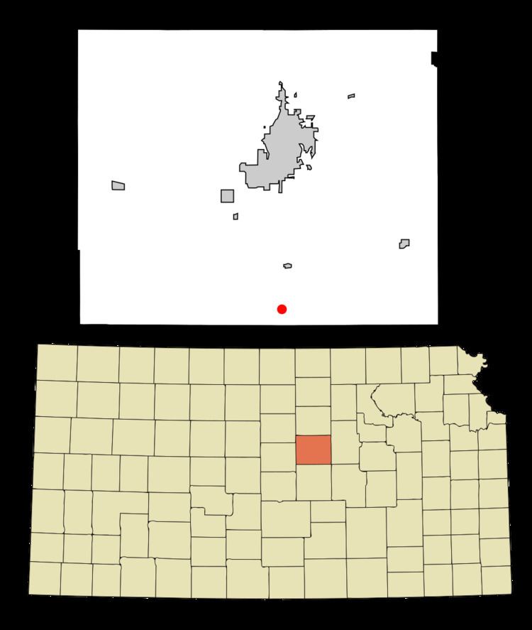
Bridgeport is an unincorporated community in southeastern Smoky View Township, Saline County, Kansas, United States. It lies along K-4 and a short distance east of Interstate 135, south of the city of Salina, the county seat of Saline County. The Smoky Hill River flows through the community. Its elevation is 1,302 feet (397 m), and it is located at 38°37′40″N 97°36′47″W (38.6277833, -97.6130924). As a part of Saline County, Bridgeport is a part of the Salina micropolitan area.
Contents
Map of Bridgeport, Smoky View, KS 67416, USA
History
A post office was opened in Bridgeport in 1879, and remained in operation until it was discontinued in 1976.
Primary and secondary education
Bridgeport is part of Unified School District 306.
Climate
The climate in this area is characterized by hot, humid summers and generally mild to cool winters. According to the Köppen Climate Classification system, Bridgeport has a humid subtropical climate, abbreviated "Cfa" on climate maps.