
Country United States Time zone CST (UTC-6) Area 93.29 km² Population 973 (2010) | Established March 15, 1859 Elevation 213 m Local time Thursday 10:29 PM | |
 | ||
ZIP codes 60921, 60955, 60959, 60962, 60968 Weather -2°C, Wind NW at 13 km/h, 76% Humidity | ||
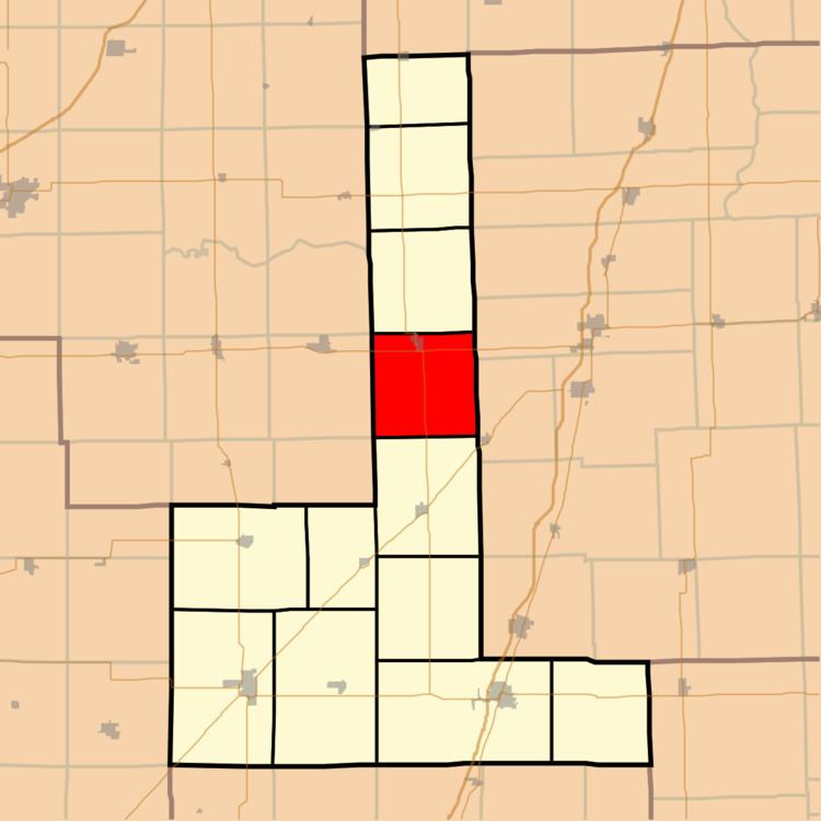
Brenton Township is one of twelve townships in Ford County, Illinois, USA. As of the 2010 census, its population was 973 and it contained 436 housing units. The township was originally called Stockton Township and was formed from a portion of Patton Township on March 15, 1859; the name was changed to Brenton Township on May 9, 1864.
Contents
- Map of Brenton Township IL USA
- Geography
- Cities towns villages
- Cemeteries
- Major highways
- Airports and landing strips
- School districts
- Political districts
- References
Map of Brenton Township, IL, USA
Geography
According to the 2010 census, the township has a total area of 36.02 square miles (93.3 km2), of which 36 square miles (93 km2) (or 99.94%) is land and 0.02 square miles (0.052 km2) (or 0.06%) is water.
Cities, towns, villages
Cemeteries
The township contains Brewton Cemetery.
Major highways
Airports and landing strips
School districts
Political districts
References
Brenton Township, Ford County, Illinois Wikipedia(Text) CC BY-SA