
Time zone CET/CEST (UTC+1/+2) Area 5.29 km² Postal code 55422 Dialling code 06743 | Municipal assoc. Rhein-Nahe Postal codes 55422 Local time Friday 3:57 AM Population 148 (31 Dec 2008) | |
 | ||
Weather 2°C, Wind SW at 5 km/h, 83% Humidity | ||
Breitscheid is an Ortsgemeinde – a municipality belonging to a Verbandsgemeinde, a kind of collective municipality – in the Mainz-Bingen district in Rhineland-Palatinate, Germany.
Contents
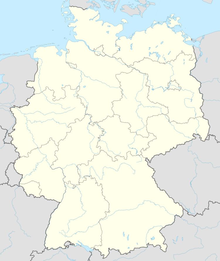
Map of Breitscheid, Germany
Location
Breitscheid lies in the Hunsrück between Koblenz and Bad Kreuznach. It belongs to the Verbandsgemeinde of Rhein-Nahe, whose seat is in Bingen am Rhein, although that town is not within its bounds. The placename comes from the Middle High German breit and -scheid: “wooded ridge”.
Municipal council
The council is made up of 5 council members who were elected by majority vote in a municipal election held on 2 March 2008.
Coat of arms
The municipality’s arms might be described thus: Per pale argent a cross sable and gules in chief sinister a mullet of six, and in base a mound royal ensigned with a cross crosslet Or.
Transport
Autobahn A 61 can be reached after a drive of roughly 10 km.