
OS grid reference SE709339 Sovereign state United Kingdom Postcode district YO8 Dialling code 01757 | Post town SELBY Local time Friday 2:42 AM | |
 | ||
Weather 4°C, Wind S at 14 km/h, 88% Humidity | ||
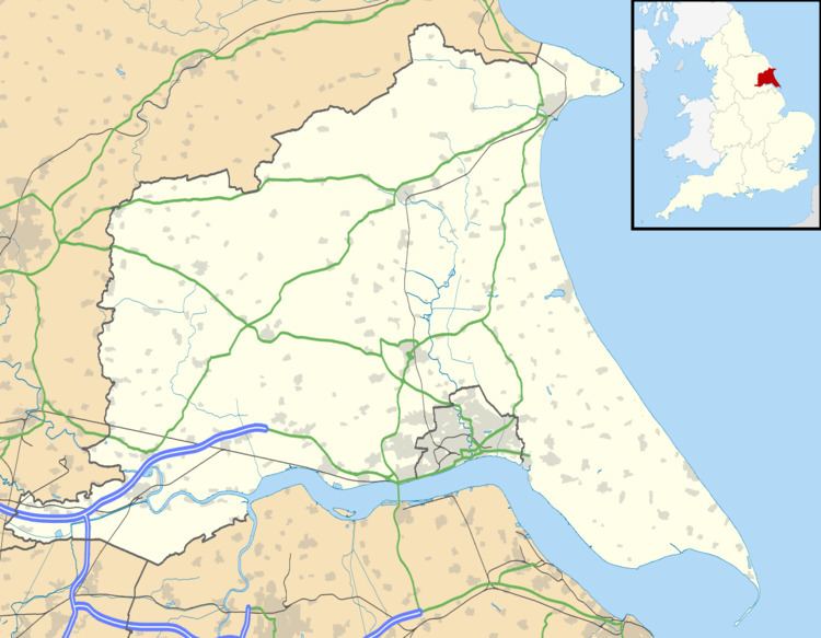
Breighton is a village in the East Riding of Yorkshire, England. It is situated on the east bank of the River Derwent, approximately 5 miles (8 km) north-west of Howden.
Map of Breighton, Selby, UK
It forms part of the civil parish of Bubwith.
Nearby is RAF Breighton, built between 1940 and 1942 for No. 1 Group RAF, its first residents were the No. 460 Squadron RAAF. After the Second World War, the airfield was used to store Thor missiles, before finally closing in March 1964. It is currently used by the Real Aeroplane Company to house historic aircraft as well as for hosting airshows. RAF Breighton or Breighton Airfield, as it is now commonly known, has the ICAO Code of EGBR.
An airshow is held by the Real Aeroplane Company in the summer.
To the north-west of the main village is the Breighton Ferry public house. From the Middle Ages until the 1930s a ferry operated across the Derwent to Menthorpe