
Country United States Time zone CST (UTC-6) Area 96.94 km² Population 5,417 (2010) | Established November 4, 1873 Elevation 139 m Local time Thursday 8:15 PM | |
 | ||
ZIP codes 62216, 62230, 62231, 62245, 62293 Weather 3°C, Wind N at 13 km/h, 73% Humidity | ||
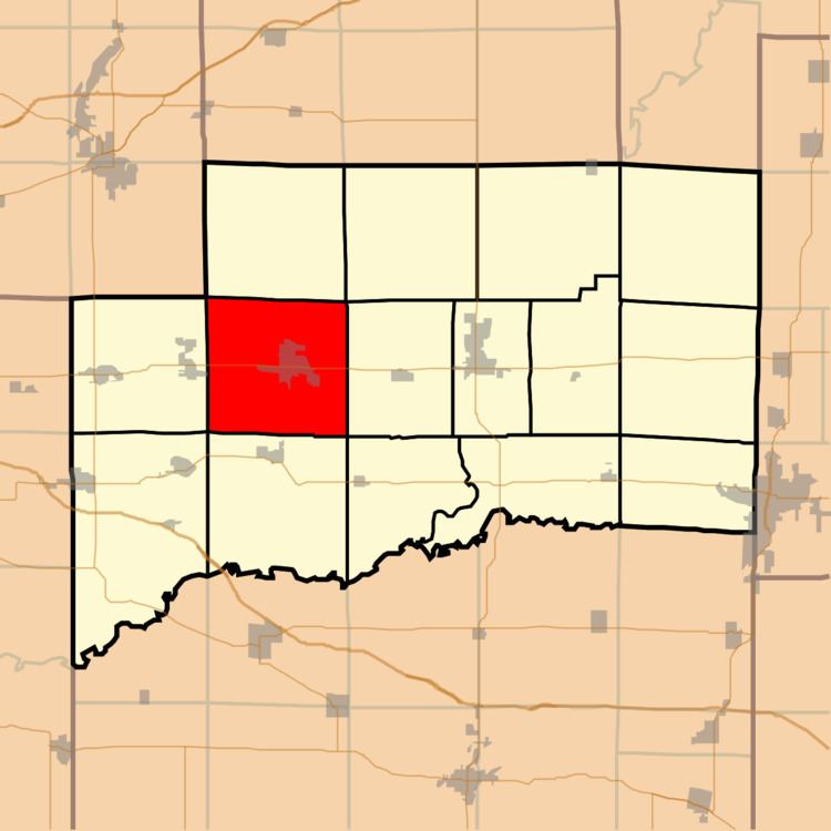
Breese Township is one of fifteen townships in Clinton County, Illinois, USA. As of the 2010 census, its population was 5,417 and it contained 2,243 housing units.
Contents
- Map of Breese Township IL USA
- Geography
- Cities towns villages
- Unincorporated towns
- Cemeteries
- Major highways
- Airports and landing strips
- Political districts
- References
Map of Breese Township, IL, USA
Geography
According to the 2010 census, the township has a total area of 37.43 square miles (96.9 km2), of which 37.41 square miles (96.9 km2) (or 99.95%) is land and 0.03 square miles (0.078 km2) (or 0.08%) is water.
Cities, towns, villages
Unincorporated towns
(This list is based on USGS data and may include former settlements.)
Cemeteries
The township contains these three cemeteries: Lake Branch, Saint Dominic and Saint John.
Major highways
Airports and landing strips
Political districts
References
Breese Township, Clinton County, Illinois Wikipedia(Text) CC BY-SA