
Time zone Central (CST) (UTC-6) FIPS code 19-08290 Elevation 419 m Population 477 (2013) | Area code(s) 712 GNIS feature ID 0454812 Zip code 51436 Mayor Mike Schwabe | |
 | ||
Weather -3°C, Wind NW at 18 km/h, 78% Humidity | ||
Breda is a city in Carroll County, Iowa, United States. The population was 483 at the 2010 census.
Contents
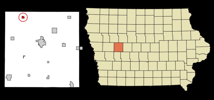
Map of Breda, IA 51436, USA
History
Breda had its start in the year 1877 by the building of the Maple branch of the Chicago and North Western railroad through that territory. It was named after the Dutch city of Breda by a settler native to that place.
Geography
Breda is located at 42°10′56″N 94°58′41″W (42.182147, -94.977999).
According to the United States Census Bureau, the city has a total area of 0.74 square miles (1.92 km2), all of it land.
2010 census
As of the census of 2010, there were 483 people, 211 households, and 135 families residing in the city. The population density was 652.7 inhabitants per square mile (252.0/km2). There were 226 housing units at an average density of 305.4 per square mile (117.9/km2). The racial makeup of the city was 98.8% White, 0.4% African American, 0.2% Asian, and 0.6% from two or more races.
There were 211 households of which 32.7% had children under the age of 18 living with them, 53.1% were married couples living together, 5.7% had a female householder with no husband present, 5.2% had a male householder with no wife present, and 36.0% were non-families. 32.2% of all households were made up of individuals and 15.7% had someone living alone who was 65 years of age or older. The average household size was 2.29 and the average family size was 2.90.
The median age in the city was 37.6 years. 25.3% of residents were under the age of 18; 7% were between the ages of 18 and 24; 27.3% were from 25 to 44; 23.6% were from 45 to 64; and 16.8% were 65 years of age or older. The gender makeup of the city was 50.5% male and 49.5% female.
2000 census
As of the census of 2000, there were 477 people, 210 households, and 129 families residing in the city. The population density was 998.4 people per square mile (383.7/km²). There were 222 housing units at an average density of 464.7 per square mile (178.6/km²). The racial makeup of the city was 99.16% White, 0.42% African American, 0.21% Native American and 0.21% Asian. Hispanic or Latino of any race were 0.63% of the population.
There were 210 households out of which 26.2% had children under the age of 18 living with them, 53.8% were married couples living together, 5.2% had a female householder with no husband present, and 38.1% were non-families. 35.2% of all households were made up of individuals and 22.9% had someone living alone who was 65 years of age or older. The average household size was 2.27 and the average family size was 2.97.
In the city, the population was spread out with 24.7% under the age of 18, 6.1% from 18 to 24, 22.9% from 25 to 44, 19.1% from 45 to 64, and 27.3% who were 65 years of age or older. The median age was 42 years. For every 100 females there were 104.7 males. For every 100 females age 18 and over, there were 99.4 males.
The median income for a household in the city was $29,783, and the median income for a family was $41,458. Males had a median income of $26,111 versus $19,375 for females. The per capita income for the city was $17,461. About 3.6% of families and 6.9% of the population were below the poverty line, including 7.1% of those under age 18 and 10.9% of those age 65 or over.